Line © OpenStreetMap contributors (ODbL), checked by Global Adventurer.
The walk
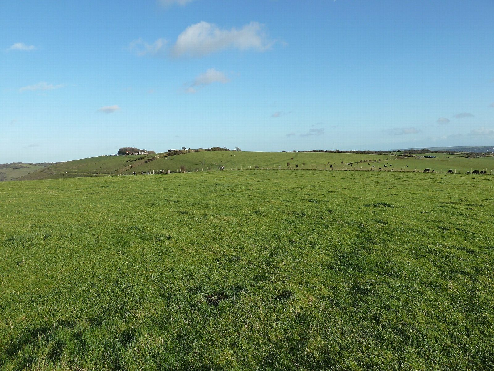
The walk makes a circuit from the Devil's Dyke car park. It heads west along the top of the escarpment over Fulking Hill and out to Edburton Hill, then drops down the scarp to Fulking. From there it comes back east below the scarp to near Saddlescombe, and climbs back to the car park up the Dyke itself: the deepest dry valley in Britain, dug by the Devil to drown the Weald's churches, the story goes. A Victorian funfair, a cable car and a funicular once ran here.
It is 8.5 km with 283 m of ascent; allow about 3 hours. The grade is Easy: the paths are clear, and the one long climb is up the Dyke at the end.
The escarpment is open to the wind. Expect gates and grazing stock on the downs, and keep dogs close near animals. About 1 km east of Fulking is on the lane, so watch for traffic.
The Devil's Dyke car park charges a fee. Saddlescombe Farm, with its donkey wheel and National Trust café, is about 300 m east of the route. Portslade station is about 5½ km away in a straight line. There are no mapped water sources on the route.
Route drawn by Global Adventurer along OpenStreetMap paths (© OpenStreetMap contributors, ODbL), with figures worked out from it. Check the forecast and the ground on the day: paths change.
Good to know
- The Dyke is the deepest dry valley in Britain, dug by the Devil to drown the Weald's churches, the story goes
- West along the escarpment, down to Fulking, back below the scarp to Saddlescombe and up the Dyke
- A Victorian funfair, a cable car and a funicular once ran here
- Saddlescombe Farm has a donkey wheel and a National Trust café
Summits on the way
- Fulking Hill 206 m
- Perching Hill 176 m · passed close by
- Edburton Hill 190 m
Getting there
Start: Devil's Dyke · Pay and display. 50.88562, -0.21185
Places to stay nearby
Rooms in and around Portslade: Booking.com → Expedia →
Affiliate links: if you book, Global Adventurer earns a small commission at no cost to you.
Paths change, and the weather decides the day. The line and figures come from OpenStreetMap and our own checks; take a map, check the forecast, and turn back if it isn't right.


