Line © OpenStreetMap contributors (ODbL), checked by Global Adventurer.
The walk
From the car park on the A283 north of Petworth the walk goes down the grass path beside the park wall, past the old Beelzebub Oak, to the Lower Pond and along its dam. It keeps south near the wall, then bears up to Lawn Hill for the view of Petworth House across the Upper Pond, goes round the head of the pond and climbs away over Snow Hill. A stone track and grass paths lead north to Monument Hill at the top of the park, and the way back crosses the slope called Half Moon Piece to the car park.
It is 6.0 km with 137 m of ascent; allow about 2 hours. The grade is Easy: grass paths over rolling parkland, steep in a few places.
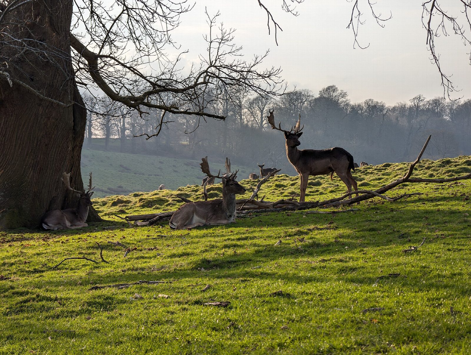
The park was laid out by Capability Brown and painted by Turner, and a herd of several hundred fallow deer lives in it. Dogs must be kept under close control. Some of the oaks are thought to be over 900 years old. The paths are muddy in winter.
Walking in the park is free. The car park charges those who are not National Trust members, £3 for the day on the latest figures found, and it is locked in the evening: read the board for the closing time. There are no toilets at this car park and no station near.
Route drawn by Global Adventurer along OpenStreetMap paths (© OpenStreetMap contributors, ODbL), with figures worked out from it. Check the forecast and the ground on the day: paths change.
Good to know
- A round of the deer park laid out by Capability Brown and painted by Turner
- By the Lower Pond and the park wall to Lawn Hill and the Upper Pond, then over Snow Hill and Monument Hill
- Some of the oaks are thought to be over 900 years old
- A herd of several hundred fallow deer lives in the park: dogs under close control
Getting there
Start: Petworth Park north car park · Pay and display. 51.00621, -0.62418
Places to stay nearby
Rooms in and around Pulborough: Booking.com → Expedia →
Affiliate links: if you book, Global Adventurer earns a small commission at no cost to you.
Paths change, and the weather decides the day. The line and figures come from OpenStreetMap and our own checks; take a map, check the forecast, and turn back if it isn't right.
