Line © OpenStreetMap contributors (ODbL), checked by Global Adventurer.
The walk
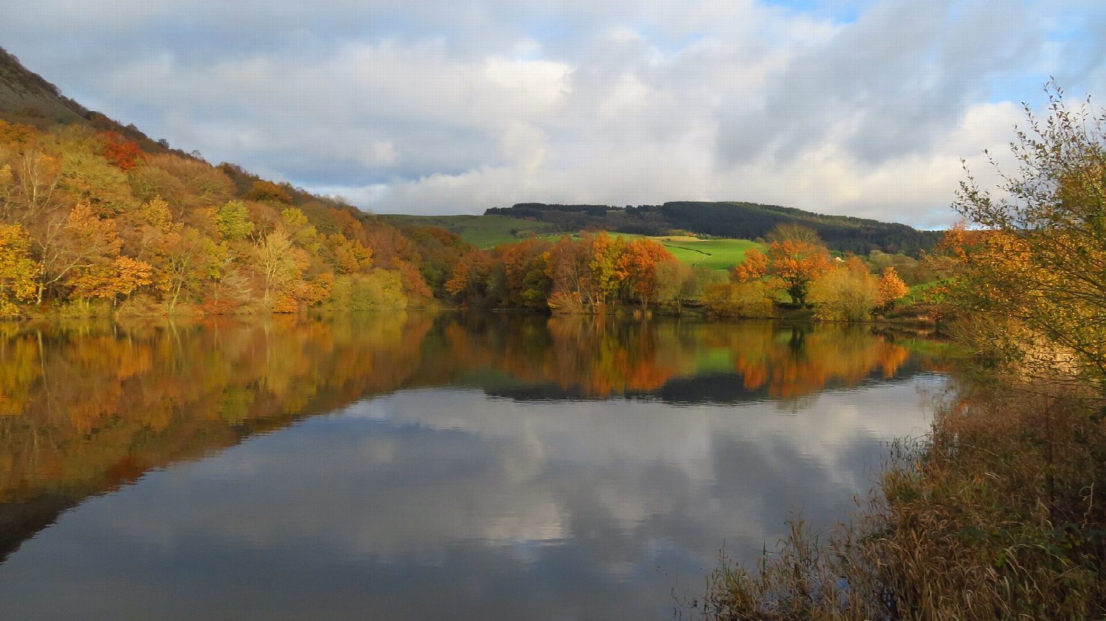
The walk starts from the car park at Tegg's Nose Country Park, on the old Buxton road above Macclesfield. A track leads south through the old quarry and round the top of the hill (380 m). The path then drops steeply down the southern slopes, through the wood, to the dam of Teggsnose Reservoir. The route crosses the dam, turns left along the track below the hill and climbs back to the car park by Saddlers Way.
It is 3.9 km with 172 m of ascent; allow about 1½ hours. The grade is Easy: short, but it drops almost 180 m and climbs it all again.
The descent is steep and has steps, and the paths are muddy after rain. Keep away from the top and the foot of the quarry faces. Cattle graze the grassland from April to November, so keep dogs under control. Fires and barbecues are not allowed. Stone was quarried here from the 1500s until 1955, and the reservoir below was built in 1871.
The Cheshire East car park charges, and has toilets and a café. Macclesfield station is about 3 km away in a straight line.
Route drawn by Global Adventurer along OpenStreetMap paths (© OpenStreetMap contributors, ODbL), with figures worked out from it. Check the forecast and the ground on the day: paths change.
Good to know
- Stone was quarried at Tegg's Nose from the 1500s until 1955
- The summit is 380 m
- Teggsnose Reservoir was built in 1871
- Follows the council's Tegg's Nose Trail
Summits on the way
- Tegg's Nose 380 m · passed close by
- Tegg's Nose South Peak · passed close by
Getting there
Start: Tegg's Nose Country Park car park · Pay and display. 53.25633, -2.07594
Places to stay nearby
Rooms in and around Macclesfield: Booking.com → Expedia →
Affiliate links: if you book, Global Adventurer earns a small commission at no cost to you.
Paths change, and the weather decides the day. The line and figures come from OpenStreetMap and our own checks; take a map, check the forecast, and turn back if it isn't right.


