Line © OpenStreetMap contributors (ODbL), checked by Global Adventurer.
The walk
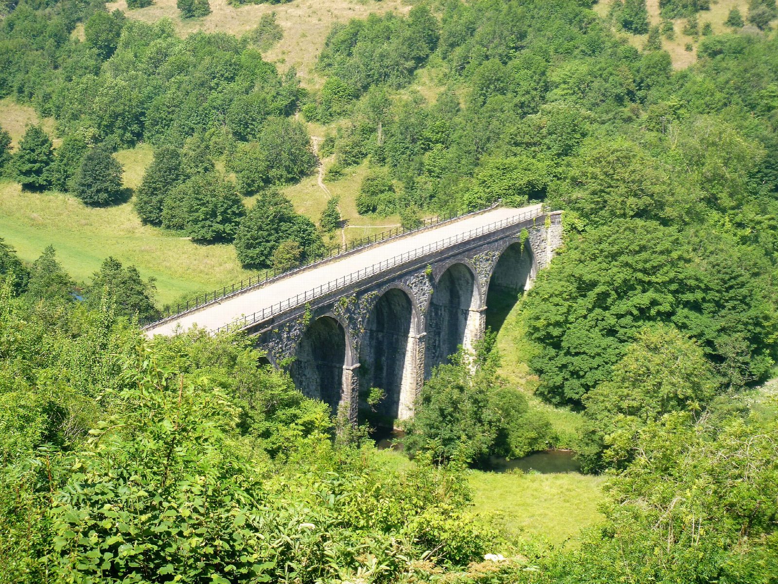
The walk starts from the car park at Monsal Head, above the bend of the Wye. A steep path drops to Headstone Viaduct, built for the Midland Railway in 1863, and on down to the river. The route follows the Wye downstream through Monsal Dale, past the weir, to the A6 at White Lodge, crosses the road and climbs into Great Shacklow Wood. The path runs along the wooded hillside and down to the river meadows, reaching Ashford-in-the-Water at Sheepwash Bridge, a 17th-century packhorse bridge. The return is north up Pennyunk Lane, a walled track, and by field paths back to Monsal Head.
It is 9.7 km with 232 m of ascent; allow about 3 hours. The grade is Moderate: there is a steep climb in Great Shacklow Wood and a long, steady one from Ashford.
The A6 at White Lodge is a fast main road: cross with care. The paths in the dale and the wood are muddy and slippery after rain. Dogs must be on a lead on the Monsal Trail, and livestock graze the dale and the fields above.
The Derbyshire Dales car park at Monsal Head charges. There are toilets at the White Lodge car park on the way round. There is no station nearby.
Route drawn by Global Adventurer along OpenStreetMap paths (© OpenStreetMap contributors, ODbL), with figures worked out from it. Check the forecast and the ground on the day: paths change.
Good to know
- Headstone Viaduct was built for the Midland Railway in 1863 and now carries the Monsal Trail
- Sheepwash Bridge at Ashford-in-the-Water is a 17th-century packhorse bridge
- Monsal Head looks down on the bend of the Wye
Getting there
Start: Monsal Head car park · Pay and display. 53.24014, -1.72464
Places to stay nearby
Rooms in and around Grindleford: Booking.com → Expedia →
Affiliate links: if you book, Global Adventurer earns a small commission at no cost to you.
Paths change, and the weather decides the day. The line and figures come from OpenStreetMap and our own checks; take a map, check the forecast, and turn back if it isn't right.


