Line © OpenStreetMap contributors (ODbL), checked by Global Adventurer.
The walk
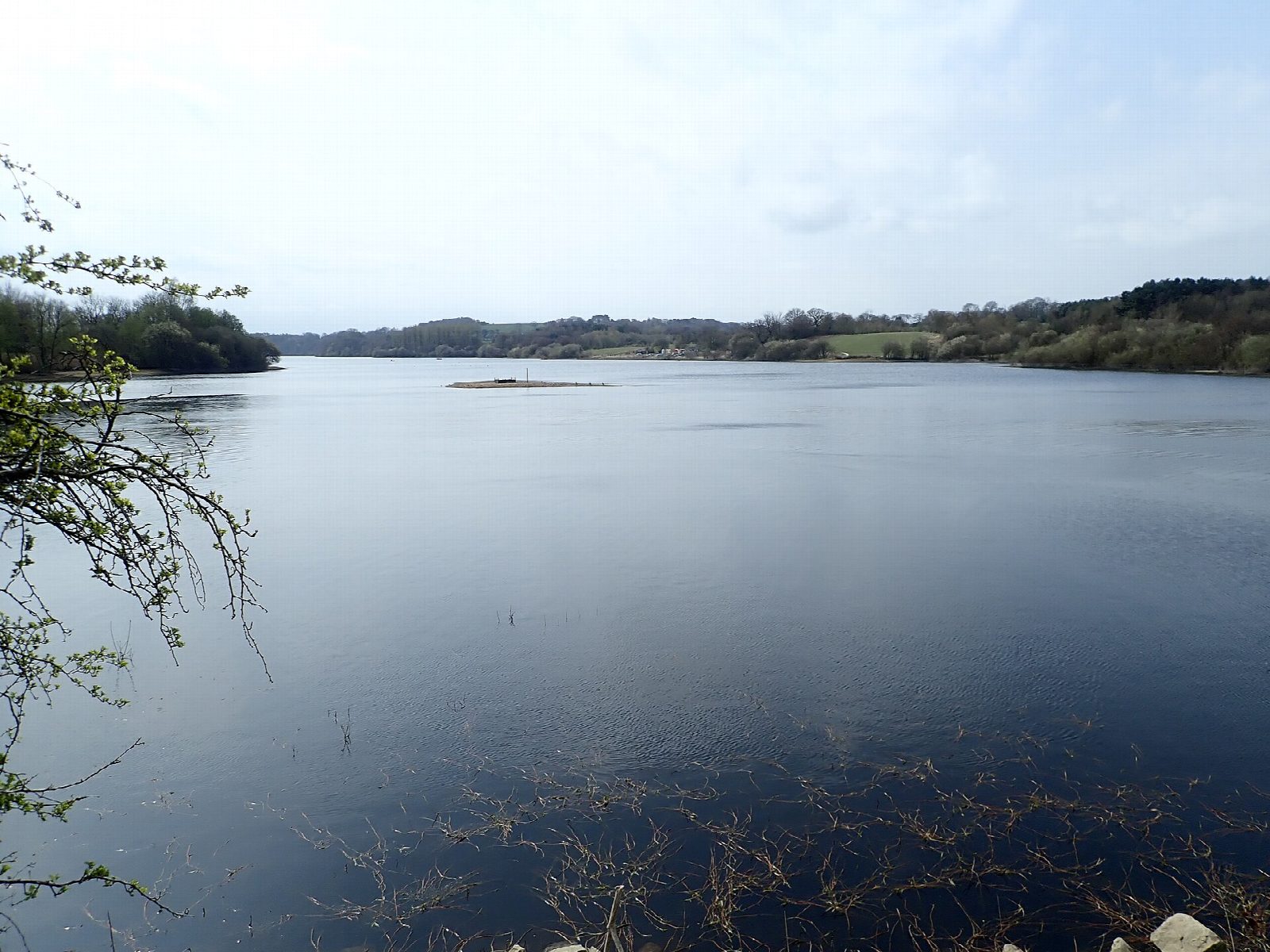
The walk starts from the visitor centre car park at Tittesworth Water, near Meerbrook. It goes clockwise: over a bridge across a brook and south through the woods and meadows of the east shore to the dam at the far end, which is reached at about half way. Beyond the dam, steps climb the far bank and the trail runs north through the woods above the west shore, with the Roaches beyond the head of the water. It comes down to the road at Meerbrook and crosses the causeway back to the visitor centre.
It is 7.3 km with 64 m of ascent; allow about 2 hours. The grade is Easy.
The trail is waymarked and mostly on good paths, with some steps, a few short climbs and muddy stretches after rain. Severn Trent asks for dogs to be on a lead at all times. The last stretch follows the road over the causeway. The reservoir was first built in 1858 as a compensation reservoir for the river Churnet, and was enlarged between 1959 and 1963.
The Severn Trent car park charges and closes in the evening, at 7 pm in October and 5 pm from November to January; there are toilets at the visitor centre. There is no station nearby.
Route drawn by Global Adventurer along OpenStreetMap paths (© OpenStreetMap contributors, ODbL), with figures worked out from it. Check the forecast and the ground on the day: paths change.
Good to know
- Tittesworth Reservoir was built in 1858 and enlarged between 1959 and 1963
- The waymarked trail goes all the way round, over the dam
- The Roaches rise beyond the head of the water
Getting there
Start: Tittesworth Water visitor centre car park · Pay and display. 53.13872, -2.01075
Places to stay nearby
Rooms in and around Congleton: Booking.com → Expedia →
Affiliate links: if you book, Global Adventurer earns a small commission at no cost to you.
Paths change, and the weather decides the day. The line and figures come from OpenStreetMap and our own checks; take a map, check the forecast, and turn back if it isn't right.


