Line © OpenStreetMap contributors (ODbL), checked by Global Adventurer.
The walk
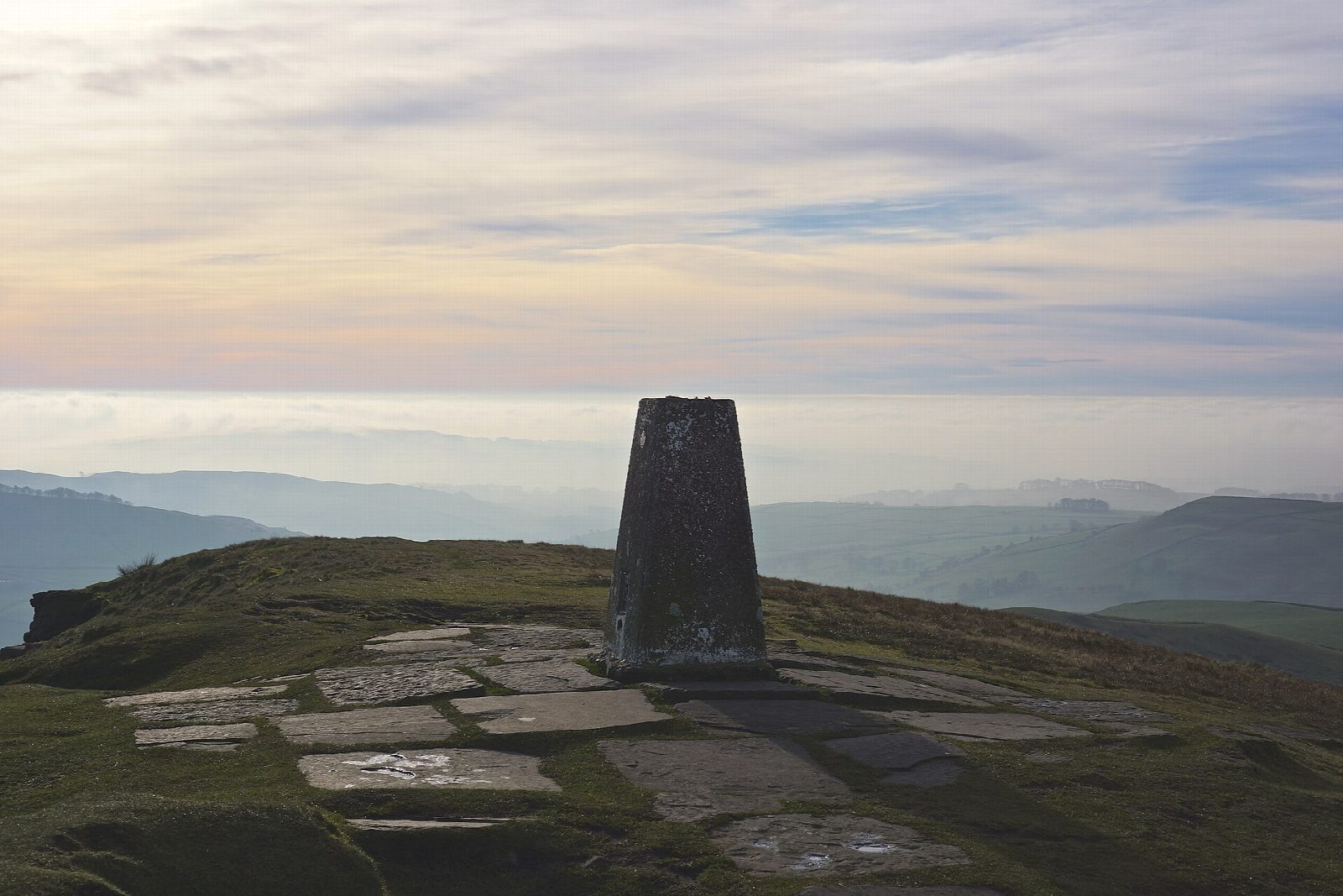
The walk starts from the Trentabank car park and goes out and back to Shutlingsloe (506 m), the 'Matterhorn of Cheshire', a sharp cone above Wildboarclough. It climbs steadily through Macclesfield Forest, comes out onto the moor on a flagged path, and finishes with a short, steep pull to the summit. It is on path nearly all the way, with a little road.
It is 5.1 km with 246 m of ascent; allow about 2 hours. The grade is Easy: it is short and the paths are good, and only the last climb to the top is steep.
This is a small hill, but the summit is exposed to the wind. In mist, keep to the flagged path on the way back across the moor. Trentabank Reservoir, by the start, has a heronry. There are no mapped water sources on the route.
The Trentabank car park charges a fee. Macclesfield station is about 5 km away in a straight line.
Route drawn by Global Adventurer along OpenStreetMap paths (© OpenStreetMap contributors, ODbL), with figures worked out from it. Check the forecast and the ground on the day: paths change.
Good to know
- The 'Matterhorn of Cheshire', a sharp cone above Wildboarclough
- Through Macclesfield Forest and out onto the moor by a flagged path
- Trentabank Reservoir has a heronry
Summits on the way
- Shutlingsloe 506 m
Getting there
Start: Trentabank car park · Pay and display. 53.23733, -2.05919
Places to stay nearby
Rooms in and around Macclesfield: Booking.com → Expedia →
Affiliate links: if you book, Global Adventurer earns a small commission at no cost to you.
Paths change, and the weather decides the day. The line and figures come from OpenStreetMap and our own checks; take a map, check the forecast, and turn back if it isn't right.


