Line © OpenStreetMap contributors (ODbL), checked by Global Adventurer.
The walk
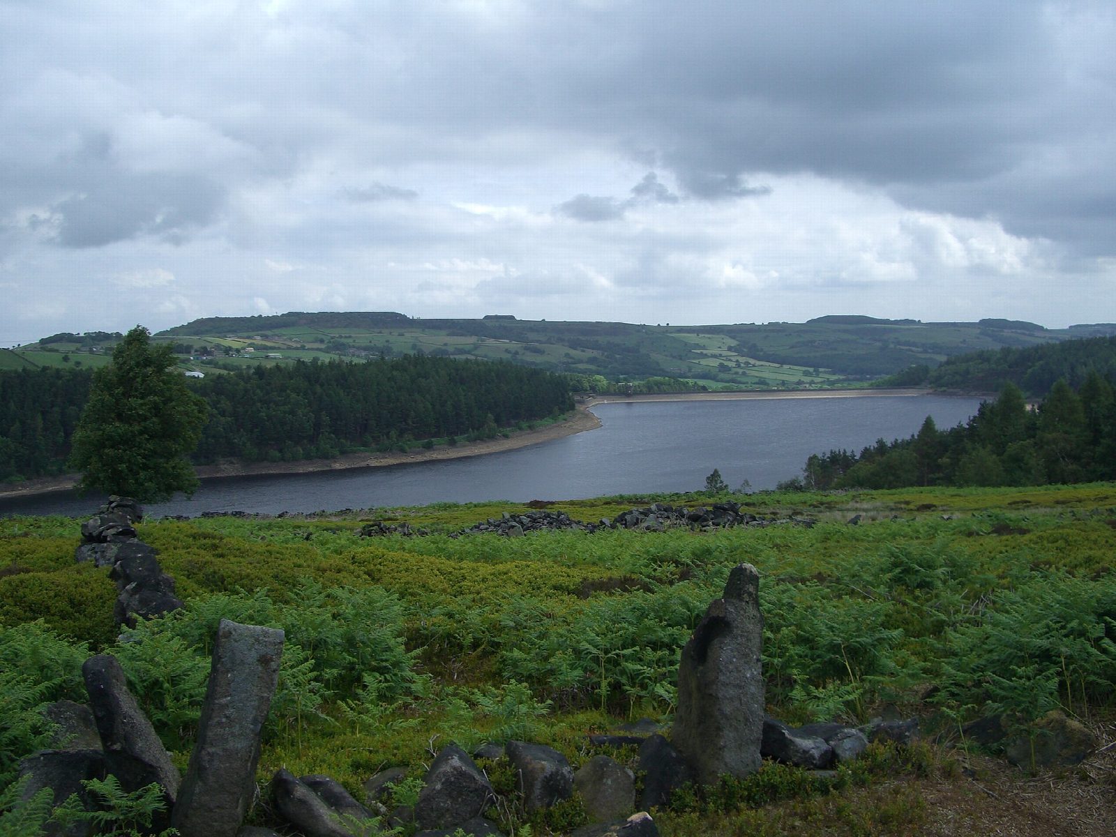
The walk starts from the Langsett Barn car park, just off the A616. A path drops to the shore and runs west through the woods, with the water on the left, to Brook House Bridge at the head of the reservoir. Across the bridge a stony track climbs on to the open moor, and the route turns left along it to the ruins of North America farm. A wide track leads down to a bridge over an inlet, and a path follows the south-east shore, with steps, up to the road below Upper Midhope. The road crosses the dam and a path climbs back to the car park.
It is 5.5 km with 120 m of ascent; allow about 1½ hours. The grade is Easy.
The climb on to the moor is steep and rocky, and can be muddy or icy; the rest is on good tracks and woodland paths. The road over the dam has a pavement but carries traffic. Dogs should be on a lead, above all in the lambing and nesting season. The reservoir was built between 1898 and 1904. North America farm was emptied soon afterwards to keep the water clean, and its ruins were used for target practice in the Second World War.
The car park is free, with toilets. There is no station nearby.
Route drawn by Global Adventurer along OpenStreetMap paths (© OpenStreetMap contributors, ODbL), with figures worked out from it. Check the forecast and the ground on the day: paths change.
Good to know
- Langsett Reservoir was built between 1898 and 1904
- North America farm was emptied to keep the water clean; its ruins were used for target practice in the Second World War
- Woodland on the north shore, open moor on the south
Getting there
Start: Langsett Barn car park · Free parking. 53.50023, -1.68388
Places to stay nearby
Rooms in and around Penistone: Booking.com → Expedia →
Affiliate links: if you book, Global Adventurer earns a small commission at no cost to you.
Paths change, and the weather decides the day. The line and figures come from OpenStreetMap and our own checks; take a map, check the forecast, and turn back if it isn't right.