Line © OpenStreetMap contributors (ODbL), checked by Global Adventurer.
The walk
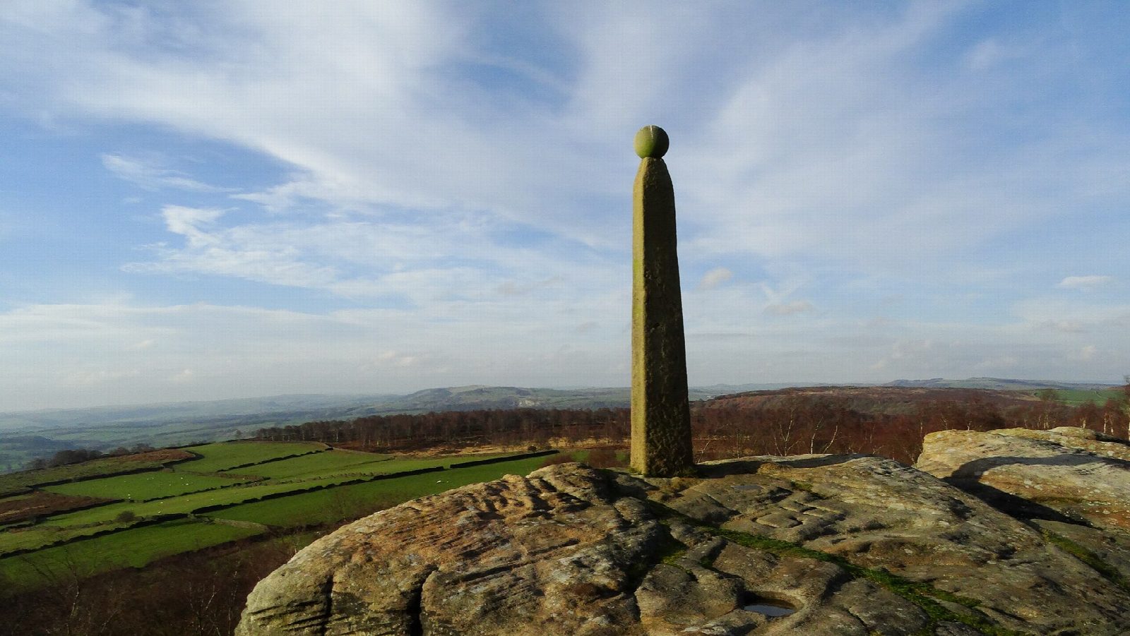
The walk starts from the Birchen Edge car park beside the Robin Hood inn, on the A619 east of Baslow. A path climbs to Birchen Edge and runs along it to Nelson's Monument, a stone pillar put up in 1810, and the three boulders beside it carved with the names of his ships. The route goes on north over the moor to the crossroads at Clod Hall, follows the old Bar Road track west to Wellington's Monument, a cross of 1866, and drops to cross the A621. It returns south below Gardom's Edge, past the cairn of the Three Men, and down the fields to the A619.
It is 6.9 km with 240 m of ascent; allow about 2½ hours. The grade is Easy.
The moor between Birchen Edge and the crossroads is rough, narrow underfoot and sometimes boggy. The edges are unfenced, with steep drops on Gardom's Edge. Take care of traffic at the Clod Hall crossroads, where the road narrows, and when crossing the A621. Highland cattle graze here: the Eastern Moors Partnership asks for dogs to be on a lead near livestock, and for walkers to keep to the paths from March to August, when birds nest on the ground.
The car park charges. There are no toilets. There is no station nearby.
Route drawn by Global Adventurer along OpenStreetMap paths (© OpenStreetMap contributors, ODbL), with figures worked out from it. Check the forecast and the ground on the day: paths change.
Good to know
- Nelson's Monument was put up on Birchen Edge in 1810; three boulders beside it are carved with the names of his ships
- Wellington's Monument, a stone cross of 1866, faces it across the valley
- A Bronze Age settlement lay below Gardom's Edge
Getting there
Start: Birchen Edge car park · Pay and display. 53.24544, -1.58145
Places to stay nearby
Rooms in and around Grindleford: Booking.com → Expedia →
Affiliate links: if you book, Global Adventurer earns a small commission at no cost to you.
Paths change, and the weather decides the day. The line and figures come from OpenStreetMap and our own checks; take a map, check the forecast, and turn back if it isn't right.

