Line © OpenStreetMap contributors (ODbL), checked by Global Adventurer.
The walk
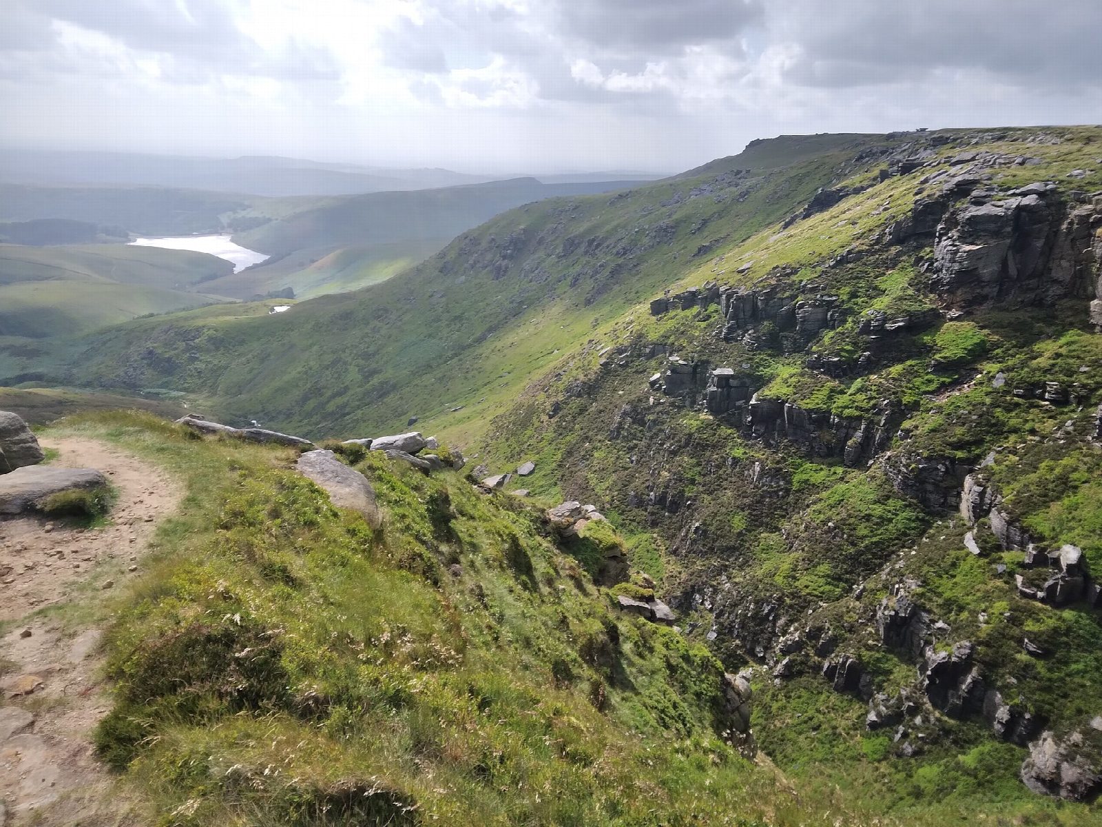
The walk starts from the Bowden Bridge car park on Kinder Road, the old quarry where the mass trespass of 24 April 1932 set out. It follows Kinder Road and the path above Kinder Reservoir to William Clough, climbs the clough to Ashop Head and turns right on the Pennine Way along the western edge of the plateau, past Sandy Heys to Kinder Downfall. The Pennine Way carries on over Red Brook to the trig point on Kinder Low (633 m) and down past Edale Rocks. The return is west down the old packhorse track from Edale Cross and by Tunstead Clough back to Bowden Bridge.
It is 13.2 km with 499 m of ascent; allow about 4½ hours. The grade is Moderate: a full hill day on rough, stony paths.
William Clough is stony and crosses the stream several times, with rough steps at the top. Between Red Brook and Kinder Low the path crosses peat and is hard to follow in mist, so carry a map and compass. The Downfall is a 30-metre fall that the wind can blow back up the cliff; take care crossing the stream above it after heavy rain. The National Trust asks for dogs to be kept on a lead.
The National Park car park charges, and there are toilets opposite. Hayfield has no railway station.
Route drawn by Global Adventurer along OpenStreetMap paths (© OpenStreetMap contributors, ODbL), with figures worked out from it. Check the forecast and the ground on the day: paths change.
Good to know
- The route of the mass trespass of 24 April 1932, which set out from Bowden Bridge quarry
- Kinder Downfall is a 30-metre fall that the wind can blow back up the cliff
- Up William Clough, along the western edge on the Pennine Way to Kinder Low, down by Edale Cross
- Kinder Scout is a National Nature Reserve on the National Trust's High Peak Estate
Summits on the way
- Kinder Low 633 m
- Swine's Back 596 m · passed close by
Getting there
Start: Bowden Bridge car park · Pay and display. 53.37947, -1.92827
Places to stay nearby
Rooms in and around Chinley: Booking.com → Expedia →
Affiliate links: if you book, Global Adventurer earns a small commission at no cost to you.
Paths change, and the weather decides the day. The line and figures come from OpenStreetMap and our own checks; take a map, check the forecast, and turn back if it isn't right.


