Line © OpenStreetMap contributors (ODbL), checked by Global Adventurer.
The walk
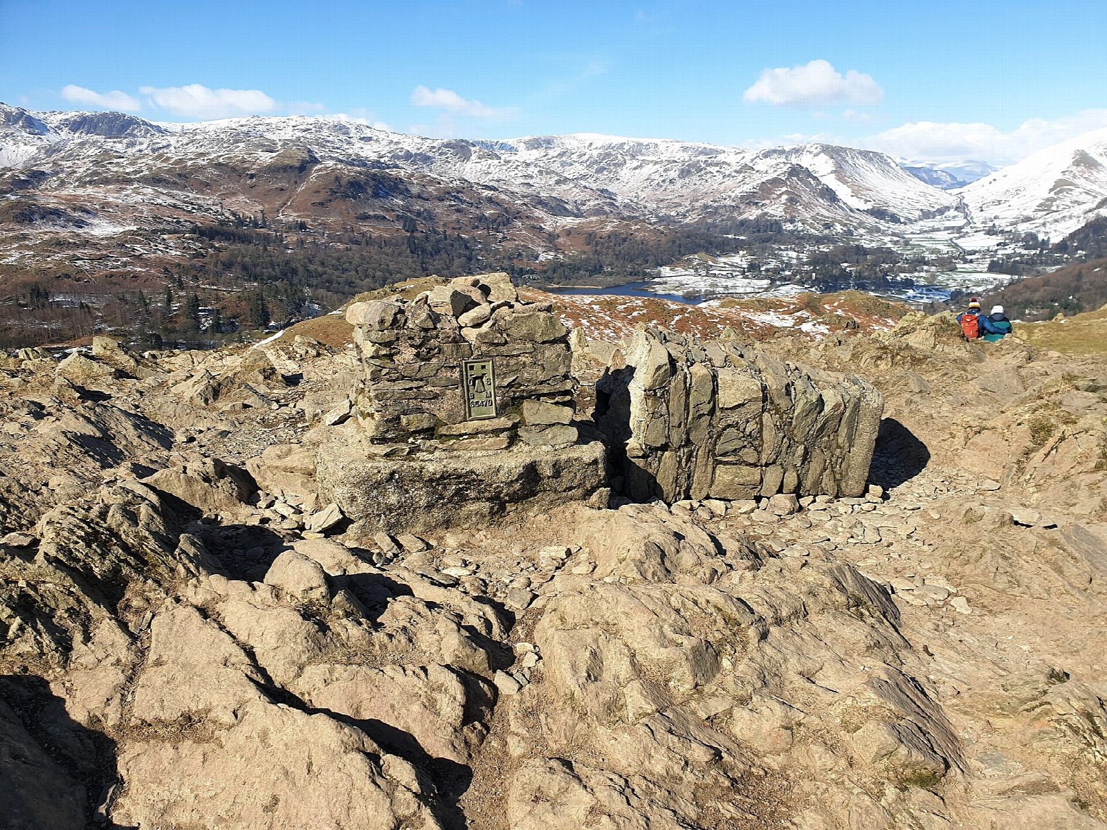
The walk starts from the White Moss (Lower) car park and makes a circuit of Loughrigg Fell, a low, knobbly fell between Grasmere, Rydal Water and Ambleside. It goes along Loughrigg Terrace, which has one of the best views of Grasmere, then climbs to the summit (335 m) and comes back down past Rydal Cave, an old slate quarry. It is on path nearly all the way, with a little road and track.
It is 5.6 km with 292 m of ascent; allow about 2½ hours. The grade is Easy: it is short and the climbing is brief, though the path up from the terrace is steep in places and the top is rough underfoot.
It is a low fell and a good choice for a short day or uncertain weather, but the knobbly top can be confusing in mist, so take care to pick the right path down. There are no mapped water sources on the route.
The car park charges a fee. The nearest station is Windermere, about 10 km away in a straight line.
Route drawn by Global Adventurer along OpenStreetMap paths (© OpenStreetMap contributors, ODbL), with figures worked out from it. Check the forecast and the ground on the day: paths change.
Good to know
- A low, knobbly fell between Grasmere, Rydal Water and Ambleside
- Loughrigg Terrace has one of the best views of Grasmere
- Rydal Cave is an old slate quarry
Summits on the way
- Loughrigg Fell 335 m
Getting there
Start: White Moss · Pay and display. 54.44984, -3.00365
Places to stay nearby
Rooms in and around Windermere: Booking.com → Expedia →
Affiliate links: if you book, Global Adventurer earns a small commission at no cost to you.
Paths change, and the weather decides the day. The line and figures come from OpenStreetMap and our own checks; take a map, check the forecast, and turn back if it isn't right.


