Line © OpenStreetMap contributors (ODbL), checked by Global Adventurer.
The walk
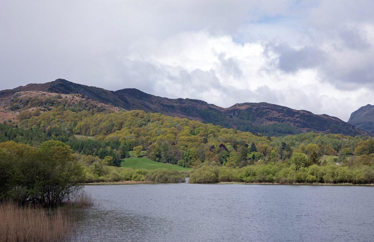
The walk starts from the National Trust car park in Elterwater. A path follows Great Langdale Beck past Elter Water to Skelwith Force, a waterfall in a rocky gorge, and on to Skelwith Bridge. A lane climbs north to Loughrigg Tarn, which Wordsworth called a most beautiful example of a miniature lake. The return heads west by lanes and paths above Elter Water back to the village.
It is 6.7 km with 158 m of ascent; allow about 2 hours. The grade is Easy: short and gentle.
The riverside path is easy but the meadow by Elter Water floods and is often puddled. Some of the return is on quiet lanes, with a short stretch on the road through Elterwater. Elter Water is slowly shrinking as reeds spread across it.
The Elterwater car park charges non-members of the National Trust. The 516 bus runs from Ambleside to Elterwater all year. The nearest railway station is Windermere, about 11 km away.
Route drawn by Global Adventurer along OpenStreetMap paths (© OpenStreetMap contributors, ODbL), with figures worked out from it. Check the forecast and the ground on the day: paths change.
Good to know
- Beside Elter Water and the river to Skelwith Force, then by lanes to Loughrigg Tarn
- Wordsworth called Loughrigg Tarn a most beautiful example of a miniature lake
- Elter Water is slowly shrinking as reeds spread
Getting there
Start: Elterwater National Trust car park · Pay and display. 54.43369, -3.03740
Places to stay nearby
Rooms in and around Windermere: Booking.com → Expedia →
Affiliate links: if you book, Global Adventurer earns a small commission at no cost to you.
Paths change, and the weather decides the day. The line and figures come from OpenStreetMap and our own checks; take a map, check the forecast, and turn back if it isn't right.


