Line © OpenStreetMap contributors (ODbL), checked by Global Adventurer.
The walk
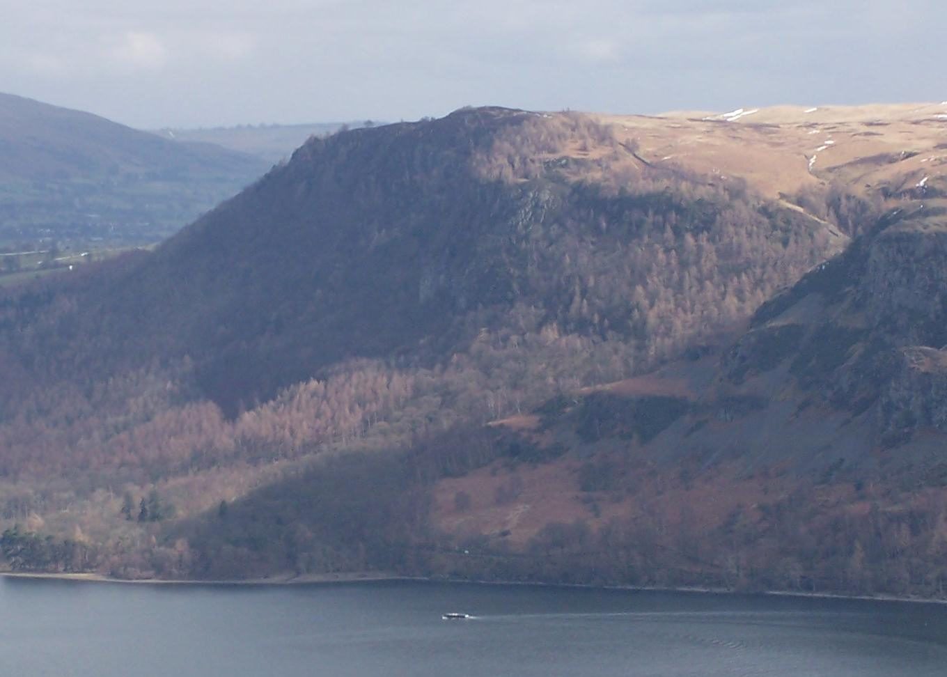
The walk starts from the National Trust's Great Wood car park on the Borrowdale road. A path climbs through the wood, then turns up beside Brockle Beck past Rakefoot to open ground and the rocky top of Walla Crag, with Derwent Water below. From the summit a moorland path crosses the heads of Cat Gill to Ashness Farm and drops to Ashness Bridge, the old packhorse bridge on the Watendlath road. A lower path leads back north through the trees to Great Wood.
It is 7.4 km with 330 m of ascent; allow about 2¾ hours. The grade is Easy: short, with one steady climb.
Paths are wet and muddy in places and rocky near the top, and Walla Crag ends in steep cliffs, so keep back from the edge. Sheep graze the open fell and birds nest on the ground, so the National Trust asks for dogs on leads. Walla Crag is an edge of the hard volcanic rocks of Borrowdale, facing the rounded slate fells around Skiddaw.
Great Wood car park charges non-members of the National Trust. The 78 Borrowdale bus stops at Calfclose Bay across the road.
Route drawn by Global Adventurer along OpenStreetMap paths (© OpenStreetMap contributors, ODbL), with figures worked out from it. Check the forecast and the ground on the day: paths change.
Good to know
- Up beside Brockle Beck to Walla Crag's rocky top above Derwent Water
- Across the moor to Ashness Farm and the old packhorse bridge on the Watendlath road
- Walla Crag is an edge of the hard Borrowdale volcanic rocks, facing the rounded Skiddaw slate fells
Summits on the way
- Walla Crag 379 m
Getting there
Start: Great Wood car park · Pay and display. 54.58299, -3.12810
Places to stay nearby
Rooms in and around Aspatria: Booking.com → Expedia →
Affiliate links: if you book, Global Adventurer earns a small commission at no cost to you.
Paths change, and the weather decides the day. The line and figures come from OpenStreetMap and our own checks; take a map, check the forecast, and turn back if it isn't right.


