Line © OpenStreetMap contributors (ODbL), checked by Global Adventurer.
The walk
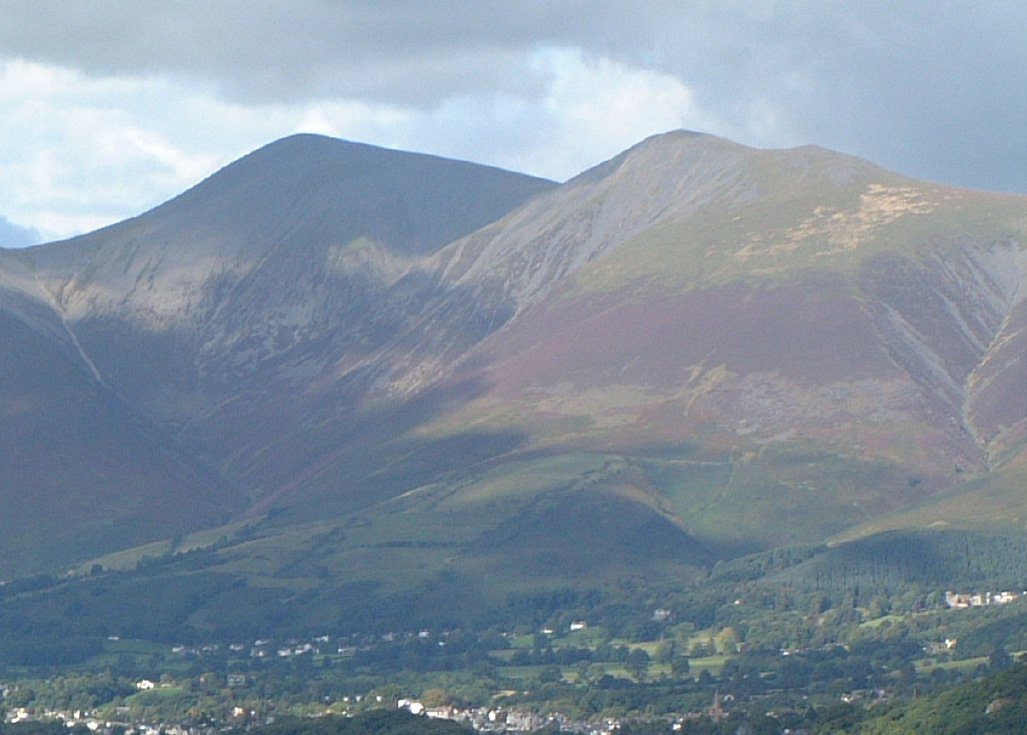
The walk starts from the Latrigg car park at the top of Gale Road and goes out and back on the tourist path, the easiest way up any of the big fells. It climbs steadily north, past Skiddaw Little Man (865 m), to a long, stony summit ridge with the trig point of Skiddaw (930 m) at its north end. Skiddaw is the fourth highest mountain in England and one of the oldest, made of Skiddaw slate. There are views over Keswick, Derwent Water and Bassenthwaite Lake. It is on path nearly all the way.
It is 10.6 km with 755 m of ascent; allow about 5½ hours. The grade is Moderate: the path is clear and never difficult, but the climb is long.
The summit ridge is exposed, and in mist the way back off it needs care, so carry a map and compass, check the forecast and use your judgement. Winter snow and ice make the upper slopes far more serious. There are no mapped water sources on the route.
The car park is free.
Route drawn by Global Adventurer along OpenStreetMap paths (© OpenStreetMap contributors, ODbL), with figures worked out from it. Check the forecast and the ground on the day: paths change.
Good to know
- The fourth highest mountain in England and one of the oldest, in Skiddaw slate
- The tourist path from the Latrigg car park is the easiest way up any of the big fells
- Views over Keswick, Derwent Water and Bassenthwaite Lake
- The summit is a long, stony ridge with a trig point at its north end
Summits on the way
- Jenkin Hill 735 m · passed close by
- Skiddaw Lesser Man 824 m · passed close by
- Skiddaw Little Man 865 m · passed close by
- Skiddaw South Top 926 m · passed close by
- Skiddaw Middle Top 929 m · passed close by
- Skiddaw 930 m
Getting there
Start: Latrigg car park, top of Gale Road · Free parking. 54.61829, -3.11542
Places to stay nearby
Rooms in and around Latrigg car park: Booking.com → Expedia →
Affiliate links: if you book, Global Adventurer earns a small commission at no cost to you.
Paths change, and the weather decides the day. The line and figures come from OpenStreetMap and our own checks; take a map, check the forecast, and turn back if it isn't right.


