Line © OpenStreetMap contributors (ODbL), checked by Global Adventurer.
The walk
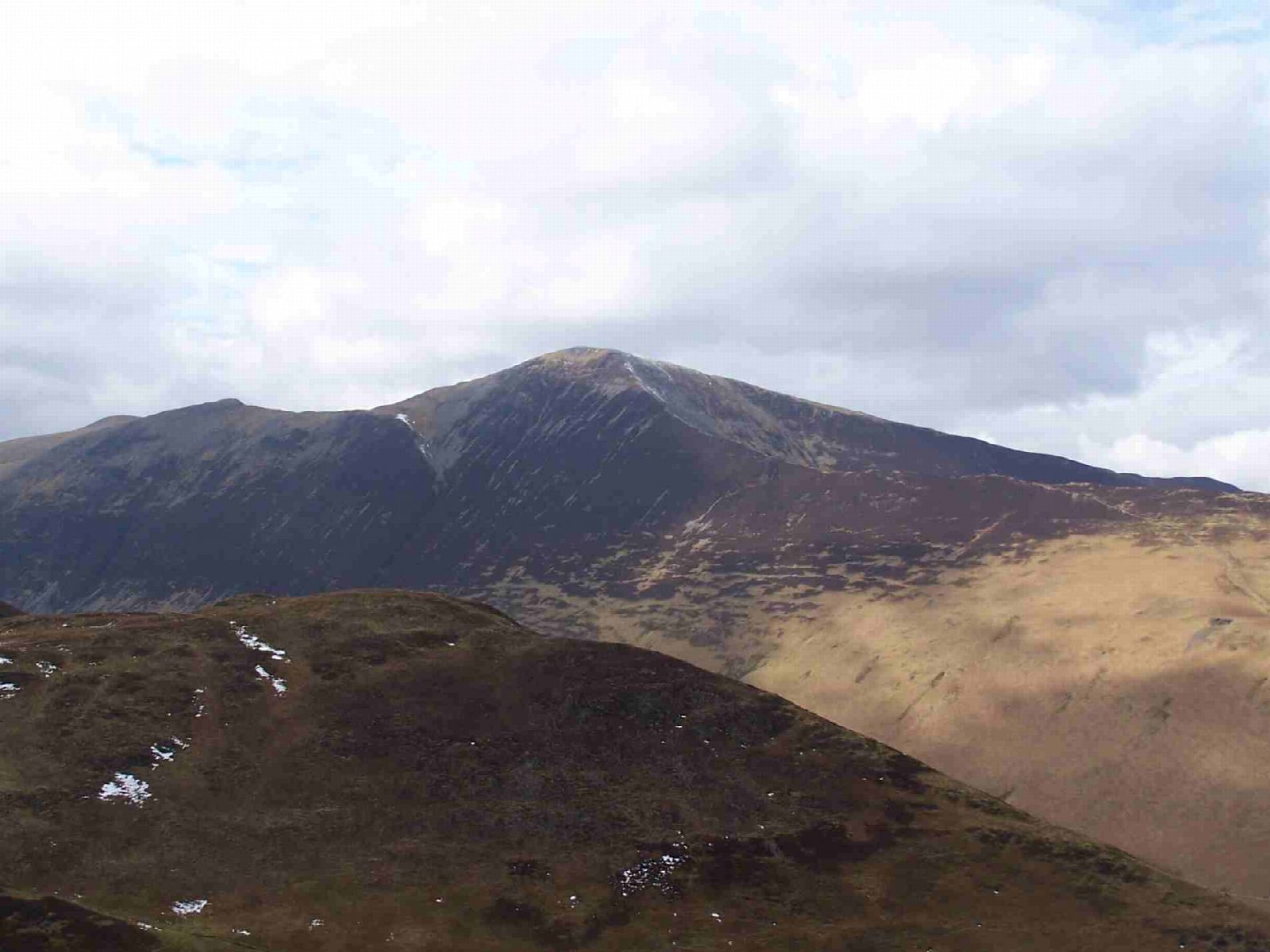
The walk starts from the small car park at the foot of the Whinlatter road in Braithwaite. It climbs over Kinn and the steep ridge of Sleet How to Grisedale Pike, then follows the edge above Hobcarton Crag to Hopegill Head. It drops past Sand Hill to Coledale Hause and climbs to Crag Hill, the highest point, then descends east to Sail and continues over Scar Crags. The last top is Outerside, from which a path leads down through the bracken to Braithwaite.
It is 14.9 km with 1,270 m of ascent; allow about 8½ hours. The grade is Strenuous: a long, steep day over five summits.
Sleet How is steep, loose and stony, and there are two rocky steps where hands help between Crag Hill and Sail. Much of the route runs close to the edge of steep crags, and navigation in mist needs care, especially around Coledale Hause. Snow and ice make it a serious winter route.
The car park is small; there is also on-street parking in Braithwaite.
Route drawn by Global Adventurer along OpenStreetMap paths (© OpenStreetMap contributors, ODbL), with figures worked out from it. Check the forecast and the ground on the day: paths change.
Good to know
- The round of the Coledale valley: Grisedale Pike, Hopegill Head, Crag Hill, Sail and Outerside
- Steep and loose on Sleet How; two rocky steps between Crag Hill and Sail
- Five Wainwrights
Summits on the way
- Kinn 374 m · passed close by
- Grisedale Pike 790 m
- Hobcarton Crag [Hobcarton Head] 738 m · passed close by
- Hopegill Head 770 m
- Sand Hill 756 m · passed close by
- Eel Crag (Birkett) 807 m · passed close by
- Crag Hill [Eel Crag] 839 m
- Sail 773 m
- Scar Crags (Wainwright) 671 m · passed close by
- Scar Crags 672 m
- Outerside 568 m
Getting there
Start: Braithwaite car park, foot of Whinlatter Pass. 54.60324, -3.19774
Places to stay nearby
Rooms in and around Braithwaite car park: Booking.com → Expedia →
Affiliate links: if you book, Global Adventurer earns a small commission at no cost to you.
Paths change, and the weather decides the day. The line and figures come from OpenStreetMap and our own checks; take a map, check the forecast, and turn back if it isn't right.

