Line © OpenStreetMap contributors (ODbL), checked by Global Adventurer.
The walk
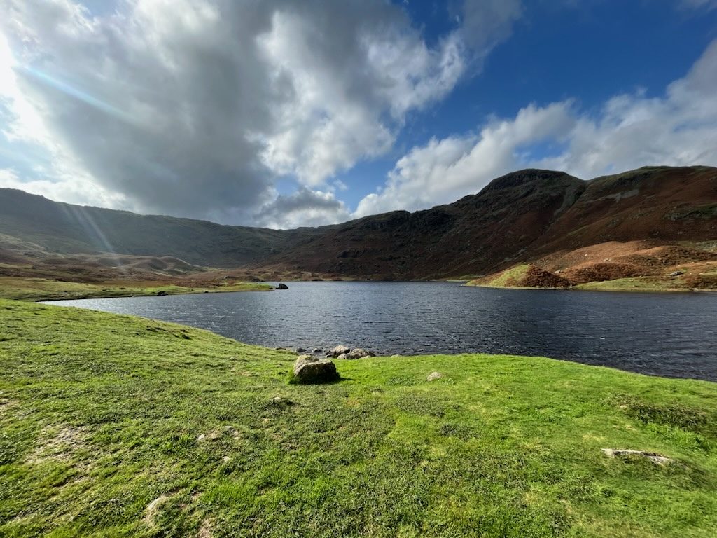
The walk starts from the Broadgate Meadow car park in Grasmere. It follows Easedale Road out of the village and crosses a footbridge over Easedale Beck, then a track through fields leads to the bridleway up the valley. The path climbs beside the waterfalls of Sourmilk Gill to Easedale Tarn, which lies in a bowl under Tarn Crag and Blea Rigg. The return is the same way.
It is 7.9 km with 220 m of ascent; allow about 2½ hours. The grade is Easy: a steady climb on a good path.
The path is rough and stony beside the falls, and in places it is wet. Cows with calves graze the fields lower down, so give them room, and the wind can whip across the open water at the tarn. Easedale Tarn is about 21 m deep. For a longer day, paths continue past the tarn to Codale Tarn and Tarn Crag.
Broadgate Meadow car park charges a fee. The 555 bus between Lancaster, Kendal and Keswick stops in Grasmere. The nearest railway station is Windermere, about 12 km away.
Route drawn by Global Adventurer along OpenStreetMap paths (© OpenStreetMap contributors, ODbL), with figures worked out from it. Check the forecast and the ground on the day: paths change.
Good to know
- Up beside the falls of Sourmilk Gill to Easedale Tarn in its rocky bowl
- The tarn is about 21 m deep
Getting there
Start: Broadgate Meadow car park, Grasmere · Pay and display. 54.46078, -3.02171
Places to stay nearby
Rooms in and around Broadgate Meadow car park: Booking.com → Expedia →
Affiliate links: if you book, Global Adventurer earns a small commission at no cost to you.
Paths change, and the weather decides the day. The line and figures come from OpenStreetMap and our own checks; take a map, check the forecast, and turn back if it isn't right.


