Line © OpenStreetMap contributors (ODbL), checked by Global Adventurer.
The walk
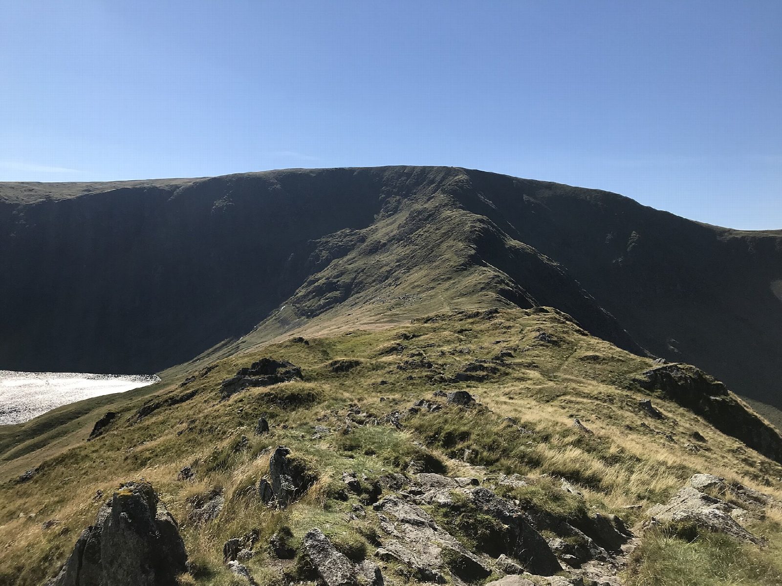
The walk starts from the car park at Mardale Head at the end of the Haweswater road. It follows the shore path to the foot of the ridge and climbs Rough Crag, with Riggindale on one side and Blea Water on the other, to the gap at Caspel Gate. Long Stile then climbs steeply to the broad top of High Street. The return goes south over Mardale Ill Bell to Nan Bield Pass and down past Small Water to Mardale Head.
It is 9.8 km with 643 m of ascent; allow about 4¾ hours. The grade is Hard: a long ridge climb with rocky steps on Long Stile.
Long Stile has short rocky steps where hands help, and the ridge drops steeply on both sides. The top of High Street is broad and featureless in mist. A Roman road crossed the summit between the forts at Brougham and Ambleside, and the village of Mardale Green was flooded when Haweswater was made a reservoir.
Mardale Head car park is free but small and fills early at weekends.
Route drawn by Global Adventurer along OpenStreetMap paths (© OpenStreetMap contributors, ODbL), with figures worked out from it. Check the forecast and the ground on the day: paths change.
Good to know
- Up the ridge of Rough Crag and Long Stile to High Street
- A Roman road crossed High Street between the forts at Brougham and Ambleside
- The village of Mardale Green was flooded when Haweswater reservoir was built
Summits on the way
- Rough Crag (Riggindale) 628 m
- High Street 829 m
- Mardale Ill Bell 761 m
Getting there
Start: Mardale Head car park · Free parking. 54.48917, -2.82047
Places to stay nearby
Rooms in and around Staveley: Booking.com → Expedia →
Affiliate links: if you book, Global Adventurer earns a small commission at no cost to you.
Paths change, and the weather decides the day. The line and figures come from OpenStreetMap and our own checks; take a map, check the forecast, and turn back if it isn't right.

