Line © OpenStreetMap contributors (ODbL), checked by Global Adventurer.
The walk
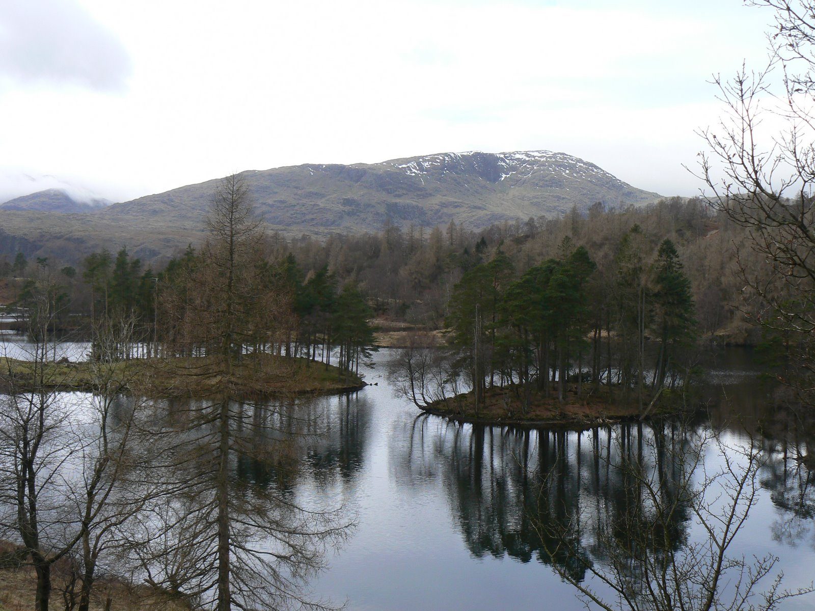
The walk starts from the National Trust's Tarn Hows car park. It crosses the road and follows the track down to the shore, then goes clockwise round the tarn on a wide gravel path through the trees and past the boggy northern end, with views to the Langdale and Coniston fells. The path climbs gently back to the car park.
It is 3.0 km with 38 m of ascent; allow about 1 hour. The grade is Easy: short, gentle and well surfaced.
The path is firm and wide, with some short steep slopes, and is suitable for pushchairs and wheelchairs; the National Trust lends an all-terrain mobility scooter if booked ahead. Tarn Hows was made in 1865 by James Garth Marshall, who dammed one of three small tarns and planted the woods, and it is now a Site of Special Scientific Interest. Belted Galloway cattle graze around it.
The car park charges non-members of the National Trust. The 505 bus stops at Hawkshead Hill chapel, about 1.6 km away by road. The nearest railway station is Windermere, about 9 km away.
Route drawn by Global Adventurer along OpenStreetMap paths (© OpenStreetMap contributors, ODbL), with figures worked out from it. Check the forecast and the ground on the day: paths change.
Good to know
- An easy surfaced path round one of the Lake District's most famous views
- Tarn Hows was made in 1865 by James Garth Marshall, who dammed a tarn and planted the woods
- Suitable for pushchairs; the National Trust lends an all-terrain mobility scooter
Getting there
Start: Tarn Hows National Trust car park · Pay and display. 54.38666, -3.03862
Places to stay nearby
Rooms in and around Windermere: Booking.com → Expedia →
Affiliate links: if you book, Global Adventurer earns a small commission at no cost to you.
Paths change, and the weather decides the day. The line and figures come from OpenStreetMap and our own checks; take a map, check the forecast, and turn back if it isn't right.


