Line © OpenStreetMap contributors (ODbL), checked by Global Adventurer.
The walk
The walk starts from the car park at Dalegarth station, the top of the Ravenglass and Eskdale Railway. A lane leads towards Boot and a track runs south to St Catherine's church by the River Esk. The path follows the river upstream on the north bank to Doctor Bridge, then returns downstream on the south bank past Low Birker and through woods and fields to the foot of Stanley Ghyll, and back by the lane to the station.
It is 5.9 km with 100 m of ascent; allow about 1¾ hours. The grade is Easy: level and on good paths.
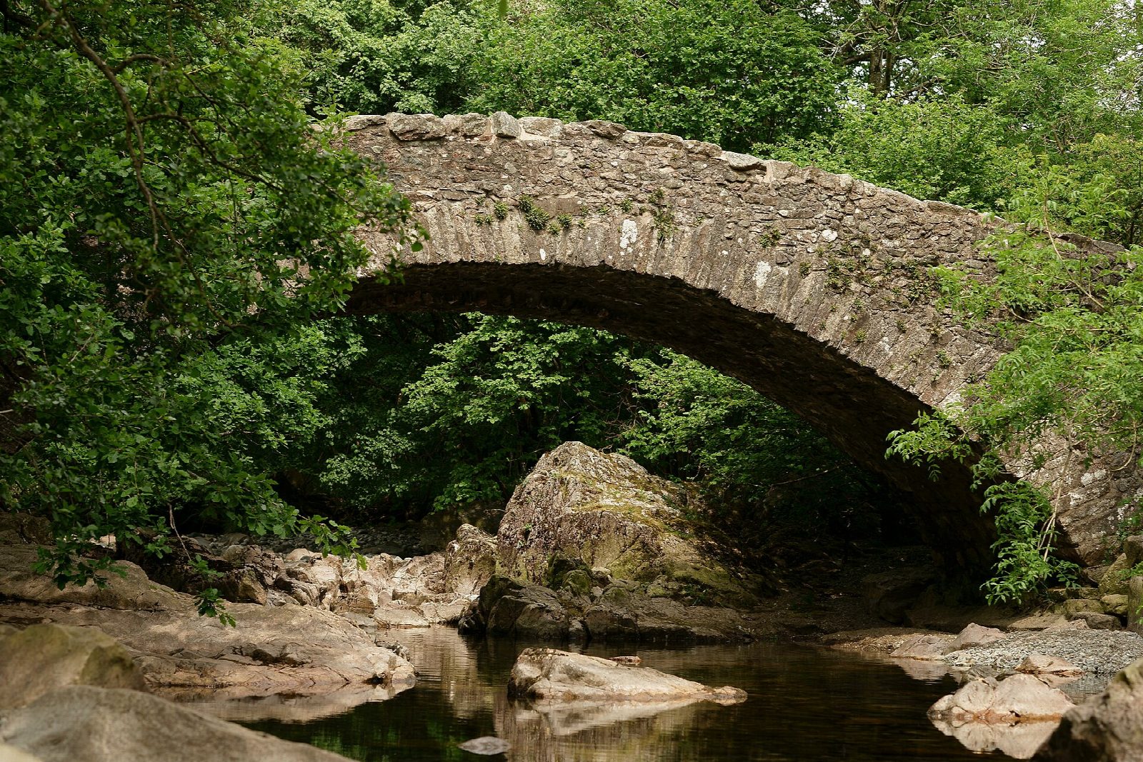
The paths are mostly good but can be muddy after rain, and there are fords and footbridges. Dead from Wasdale were once carried over the fells for burial at St Catherine's. Doctor Bridge was widened in 1734 so the local surgeon could take his trap across.
The station car park charges a fee. The steam railway runs from Ravenglass, where there is a mainline station.
Route drawn by Global Adventurer along OpenStreetMap paths (© OpenStreetMap contributors, ODbL), with figures worked out from it. Check the forecast and the ground on the day: paths change.
Good to know
- Along the River Esk from Boot past St Catherine's church to Doctor Bridge, back on the south bank
- Doctor Bridge was widened in 1734 so a local surgeon could take his trap across
- The Ravenglass and Eskdale Railway runs up the valley to Dalegarth
Summits on the way
- Dalegarth How 121 m · passed close by
Getting there
Start: Dalegarth station car park · Pay and display. 54.39515, -3.27521
Places to stay nearby
Rooms in and around Ravenglass: Booking.com → Expedia →
Affiliate links: if you book, Global Adventurer earns a small commission at no cost to you.
Paths change, and the weather decides the day. The line and figures come from OpenStreetMap and our own checks; take a map, check the forecast, and turn back if it isn't right.
