Line © OpenStreetMap contributors (ODbL), checked by Global Adventurer.
The walk
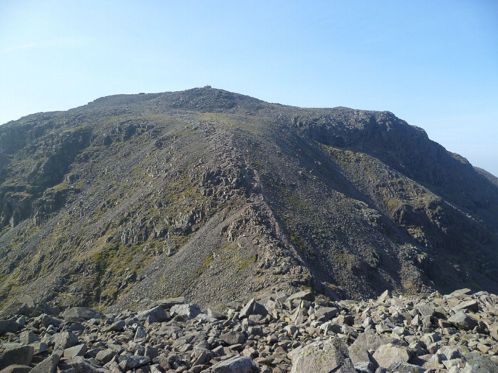
The walk starts from Seathwaite at the end of the Borrowdale lane. It follows the beck to Stockley Bridge, a packhorse bridge first built in 1540, and climbs the old pass to Styhead Tarn below Great Gable. A pitched path continues past Sprinkling Tarn under the cliffs of Great End to Esk Hause, then rough ground leads over Calf Cove and the boulders below Broad Crag to the summit of Scafell Pike, 978 m. The way back returns to Esk Hause and drops beside Ruddy Gill and Grains Gill to Stockley Bridge.
It is 15.4 km with 967 m of ascent; allow about 7 hours. The grade is Hard: a long day with steep, rocky ground and a bouldery summit.
The top is a plateau of boulders where it is easy to go wrong in mist, so carry a map and compass. The summit weather is often far worse than the valley's. From December to March or April the Lake District's Fell Top Assessors report winter conditions daily from Helvellyn, and snow and ice call for an ice axe, crampons and the skill to use them. Scafell Pike is a war memorial as well as England's highest mountain.
Parking at Seathwaite is limited and fills early; the National Trust's Seatoller car park, 2 km down the lane, has a bus stop for the 78.
Route drawn by Global Adventurer along OpenStreetMap paths (© OpenStreetMap contributors, ODbL), with figures worked out from it. Check the forecast and the ground on the day: paths change.
Good to know
- England's highest mountain, 978 m, and a war memorial
- Up past Styhead Tarn and Sprinkling Tarn to Esk Hause; down beside Ruddy Gill and Grains Gill
- Stockley Bridge is a packhorse bridge first built in 1540
Summits on the way
- Blunt Top 901 m · passed close by
- Broad Crag 935 m · passed close by
- Scafell Pike 978 m
Getting there
Start: Seathwaite · Pay and display. 54.49990, -3.18236
Places to stay nearby
Rooms in and around Ravenglass: Booking.com → Expedia →
Affiliate links: if you book, Global Adventurer earns a small commission at no cost to you.
Paths change, and the weather decides the day. The line and figures come from OpenStreetMap and our own checks; take a map, check the forecast, and turn back if it isn't right.