Line © OpenStreetMap contributors (ODbL), checked by Global Adventurer.
The walk
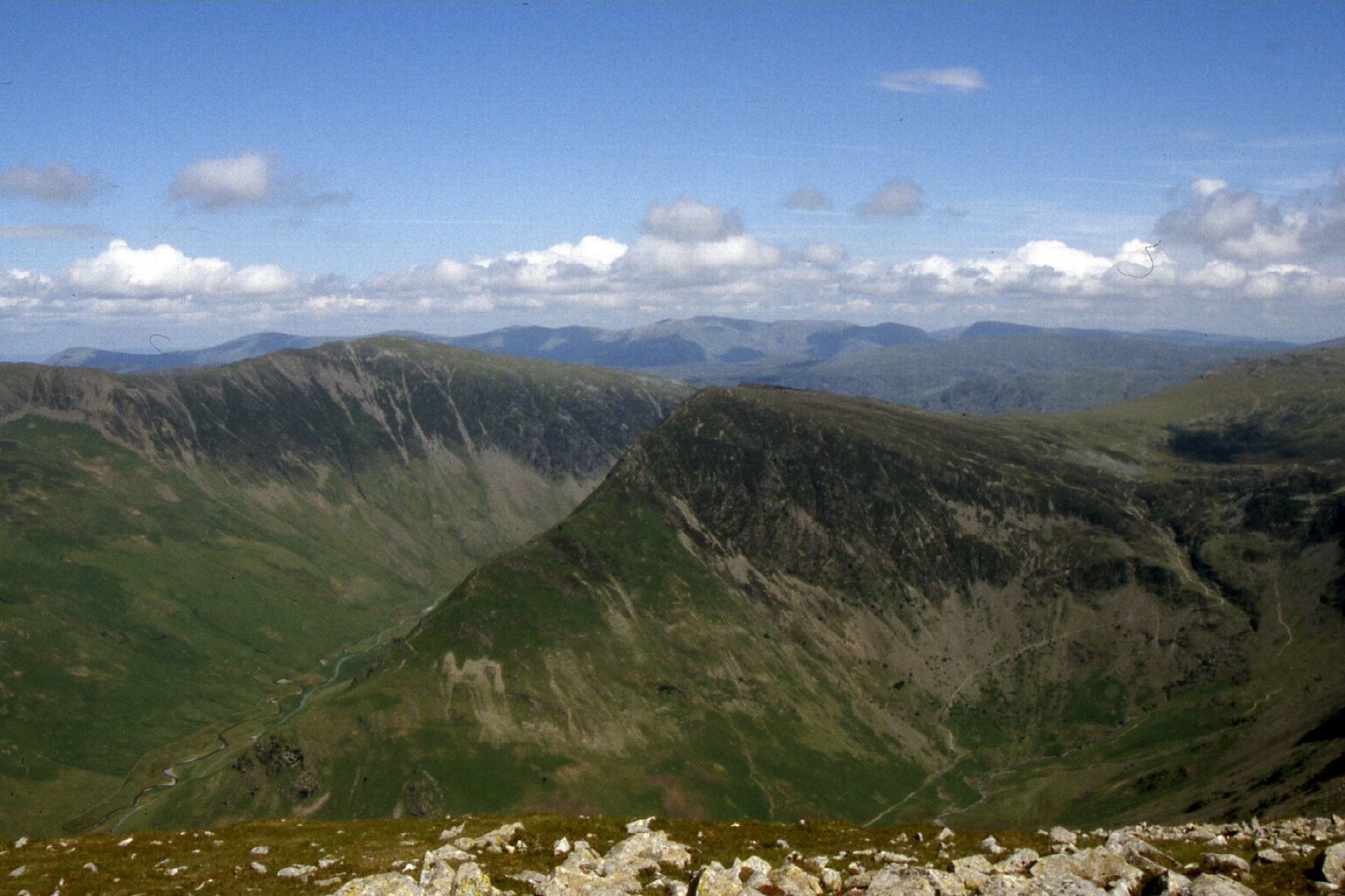
The walk starts from the National Park car park in Buttermere village. It follows the lakeshore path through Burtness Wood and climbs to Scarth Gap, then turns west up the steep ridge of Seat and Gamlin End to High Crag. The ridge continues along the rim of the combes over High Stile to Red Pike. From Red Pike the path drops to Bleaberry Tarn and down the steep pitched path beside Sourmilk Gill, which falls nearly 400 m to the lake.
It is 12.5 km with 899 m of ascent; allow about 6½ hours. The grade is Hard: steep, loose ground on Gamlin End and Red Pike.
Gamlin End and the descent from Red Pike are steep, with loose scree, and the ridge runs close to sheer crags, so take care in wind and mist. The pitched stones beside Sourmilk Gill are very slippery when wet. In winter the ridge can hold snow and ice.
The car park charges a fee; there is a National Trust car park nearby too. The 77 and 77A buses run from Keswick from March to November.
Route drawn by Global Adventurer along OpenStreetMap paths (© OpenStreetMap contributors, ODbL), with figures worked out from it. Check the forecast and the ground on the day: paths change.
Good to know
- The High Stile ridge above Buttermere: up by Scarth Gap and Gamlin End, down past Bleaberry Tarn
- Three Wainwrights along the edge of steep crags and combes
- Sourmilk Gill falls nearly 400 m from Bleaberry Tarn to the lake
Summits on the way
- High Crag (Buttermere) 745 m
- High Stile [Grey Crag - High Stile] 807 m · passed close by
- High Stile 806 m
- Red Pike (Buttermere) 755 m
Getting there
Start: Buttermere car park (Lake District National Park) · Pay and display. 54.54081, -3.27940
Places to stay nearby
Rooms in and around Corkickle: Booking.com → Expedia →
Affiliate links: if you book, Global Adventurer earns a small commission at no cost to you.
Paths change, and the weather decides the day. The line and figures come from OpenStreetMap and our own checks; take a map, check the forecast, and turn back if it isn't right.
