Line © OpenStreetMap contributors (ODbL), checked by Global Adventurer.
The walk
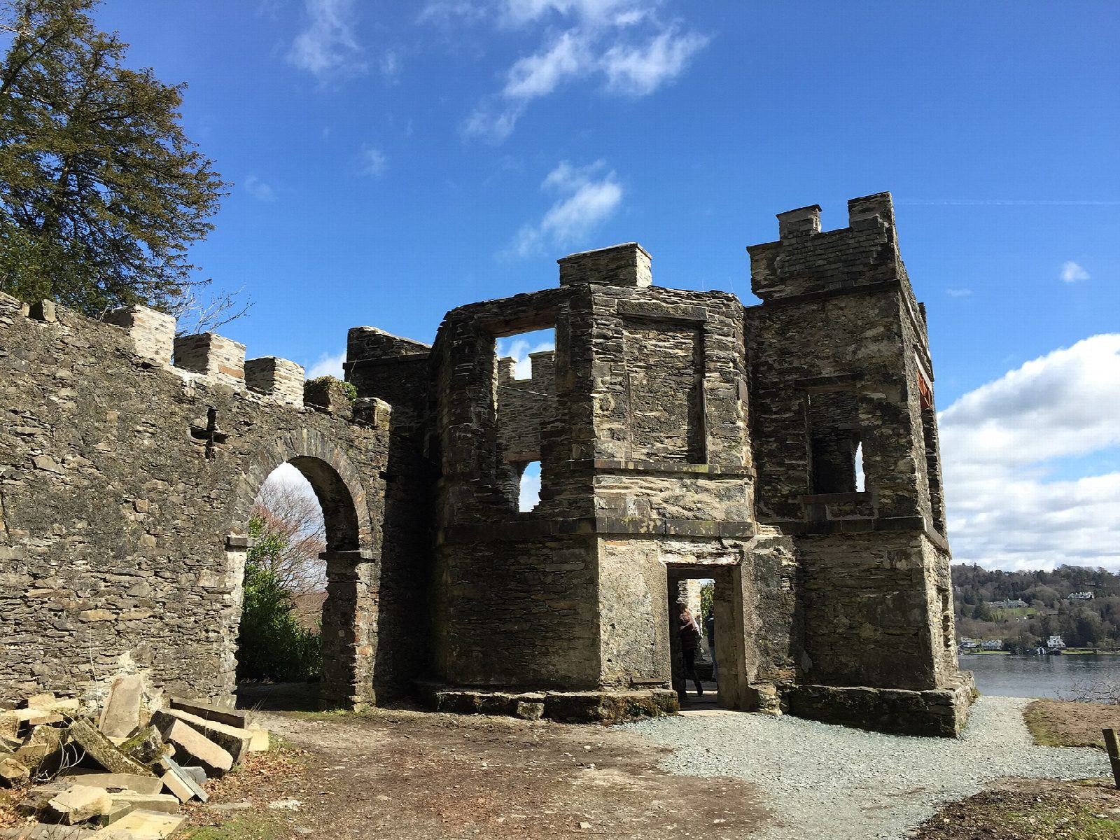
The walk starts from the National Trust's Ash Landing car park by the Windermere ferry. It climbs past Claife Station, a viewing station built in 1799, and on through woods and pasture onto Claife Heights, with views over the lake from the ridge. Paths and forest tracks lead north past Belle Grange and through the plantations to High Wray. The return follows the lakeshore track south past Red Nab and the old Strawberry Gardens back to Ash Landing.
It is 13.4 km with 312 m of ascent; allow about 4¼ hours. The grade is Moderate: a steep start, then forest tracks and a level shore path.
The first climb is steep, and the woodland paths are rough with roots and wet spots. Red and roe deer and red squirrels live in Claife Woods. Check the ferry timetable if you are crossing from Bowness: it does not run in high winds.
Ash Landing car park is small and charges non-members of the National Trust. The Windermere ferry and, from Easter to October, the Cross Lakes Shuttle from Bowness reach the start.
Route drawn by Global Adventurer along OpenStreetMap paths (© OpenStreetMap contributors, ODbL), with figures worked out from it. Check the forecast and the ground on the day: paths change.
Good to know
- Up past the ruined Claife viewing station into the woods of Claife Heights
- Back along the quiet west shore of Windermere
- Claife Station was built in 1799 on the site of Thomas West's first viewing station
Getting there
Start: Ash Landing National Trust car park · Pay and display. 54.35026, -2.94368
Places to stay nearby
Rooms in and around Windermere: Booking.com → Expedia →
Affiliate links: if you book, Global Adventurer earns a small commission at no cost to you.
Paths change, and the weather decides the day. The line and figures come from OpenStreetMap and our own checks; take a map, check the forecast, and turn back if it isn't right.
