The line is OpenStreetMap's mapping of the route (© OpenStreetMap contributors, ODbL), via Waymarked Trails, with heights from a 30 m terrain model. Check the current official route before a long trip: diversions and permitted paths change. See the source.
The trail
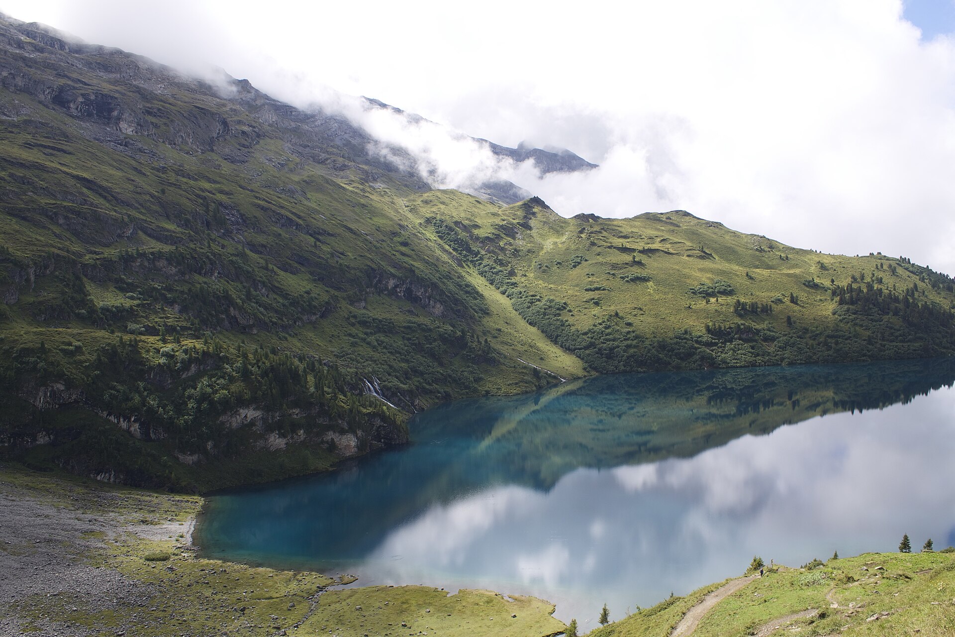
Switzerland's national hiking route 1 crosses the country from Vaduz in Liechtenstein to Montreux on Lake Geneva in twenty stages, over fourteen Alpine passes, the highest being the 2,778 m Hohtürli above Kandersteg. Every stage ends at a village, mountain inn or hut with beds and meals, so you can walk it with a light pack, but book ahead for July and August. The high passes are usually free of snow from late June or early July until late September.
Stages
A suggested split into 20 days of about 18.7 km (11.6 mi). Each day ends at the town or village on the way nearest to an equal share of the distance, or at a hotel or hostel where there is none. These are not the official stages: check where you can stay before you book.
- Day 1 Vaduz to Sargans 15.5 km · 15.5 km from the start
- Day 2 Sargans to Weisstannen 13.9 km · 29 km from the start
- Day 3 Weisstannen to Elm 22 km · 51 km from the start
- Day 4 Elm to Linthal 24 km · 75 km from the start
- Day 5 Linthal to Urnerboden 16.3 km · 91 km from the start
- Day 6 Urnerboden to Altdorf 27 km · 118 km from the start
- Day 7 Altdorf to Engelberg 29 km · 147 km from the start
- Day 8 Engelberg to Engstlenalp 12.3 km · 159 km from the start
- Day 9 Engstlenalp to Meiringen 22 km · 181 km from the start
- Day 10 Meiringen to Grindelwald 22 km · 203 km from the start
- Day 11 Grindelwald to Lauterbrunnen 19.7 km · 223 km from the start
- Day 12 Lauterbrunnen to Griesalp 21 km · 244 km from the start
- Day 13 Griesalp to Kandersteg 16.2 km · 260 km from the start
- Day 14 Kandersteg to Adelboden 16.3 km · 277 km from the start
- Day 15 Adelboden to Lenk 13.9 km · 291 km from the start
- Day 16 Lenk to Gstaad 21 km · 312 km from the start
- Day 17 Gstaad to L'Étivaz 15.9 km · 328 km from the start
- Day 18 L'Étivaz to Rossinière 13.7 km · 341 km from the start
- Day 19 Rossinière to Rochers de Naye 18.7 km · 360 km from the start
- Day 20 Rochers de Naye to Montreux 13.4 km · 374 km from the start
Summits on the way
- Schlafhubel 2,035 m · 195 km from the start
- Mittelberg 1,753 m · 226 km from the start
- Bryndli 2,132 m · 232 km from the start
- Rumpfmasflue 2,103 m · 240 km from the start
- Fuli Flue 2,119 m · 253 km from the start
Tops within 300 m of the line. Summits from OpenStreetMap.
Start and finish
Start: near Vaduz, Oberland. 47.13287, 9.51283
Finish: near Montreux, Riviera-Pays-d'Enhaut District. 46.43484, 6.90990
Places to stay
Rooms in the towns and villages along the way:
- Vaduz, Oberland · The start Booking.com → Expedia →
- Sargans, Wahlkreis Sarganserland · After day 1 Booking.com → Expedia →
- Weisstannen, Wahlkreis Sarganserland · After day 2 Booking.com → Expedia →
- Elm, Glarus · After day 3 Booking.com → Expedia →
- Linthal, Glarus · After day 4 Booking.com → Expedia →
- Urnerboden, Uri · After day 5 Booking.com → Expedia →
- Altdorf, Uri · After day 6 Booking.com → Expedia →
- Engelberg, Obwalden · After day 7 Booking.com → Expedia →
- Engstlenalp, Interlaken-Oberhasli administrative district · After day 8 Booking.com → Expedia →
- Meiringen, Interlaken-Oberhasli administrative district · After day 9 Booking.com → Expedia →
- Grindelwald, Interlaken-Oberhasli administrative district · After day 10 Booking.com → Expedia →
- Lauterbrunnen, Interlaken-Oberhasli administrative district · After day 11 Booking.com → Expedia →
- Griesalp, Frutigen-Niedersimmental administrative district · After day 12 Booking.com → Expedia →
- Kandersteg, Frutigen-Niedersimmental administrative district · After day 13 Booking.com → Expedia →
- Adelboden, Frutigen-Niedersimmental administrative district · After day 14 Booking.com → Expedia →
- Lenk, Obersimmental-Saanen administrative district · After day 15 Booking.com → Expedia →
- Gstaad, Obersimmental-Saanen administrative district · After day 16 Booking.com → Expedia →
- L'Étivaz, Riviera-Pays-d'Enhaut District · After day 17 Booking.com → Expedia →
- Rossinière, Riviera-Pays-d'Enhaut District · After day 18 Booking.com → Expedia →
- Rochers de Naye, Riviera-Pays-d'Enhaut District · After day 19 Booking.com → Expedia →
- Montreux, Riviera-Pays-d'Enhaut District · The finish Booking.com → Expedia →
Affiliate links: if you book, Global Adventurer earns a small commission at no cost to you.
Paths change, and the weather decides the day. The line comes from the source named under the map and the heights from a terrain model, so treat the figures as a guide. Check for diversions before you go, take a map, check the forecast, and turn back if it isn't right.


