The line is OpenStreetMap's mapping of the route (© OpenStreetMap contributors, ODbL), via Waymarked Trails, with heights from a 30 m terrain model. Check the current official route before a long trip: diversions and permitted paths change. See the source.
The trail
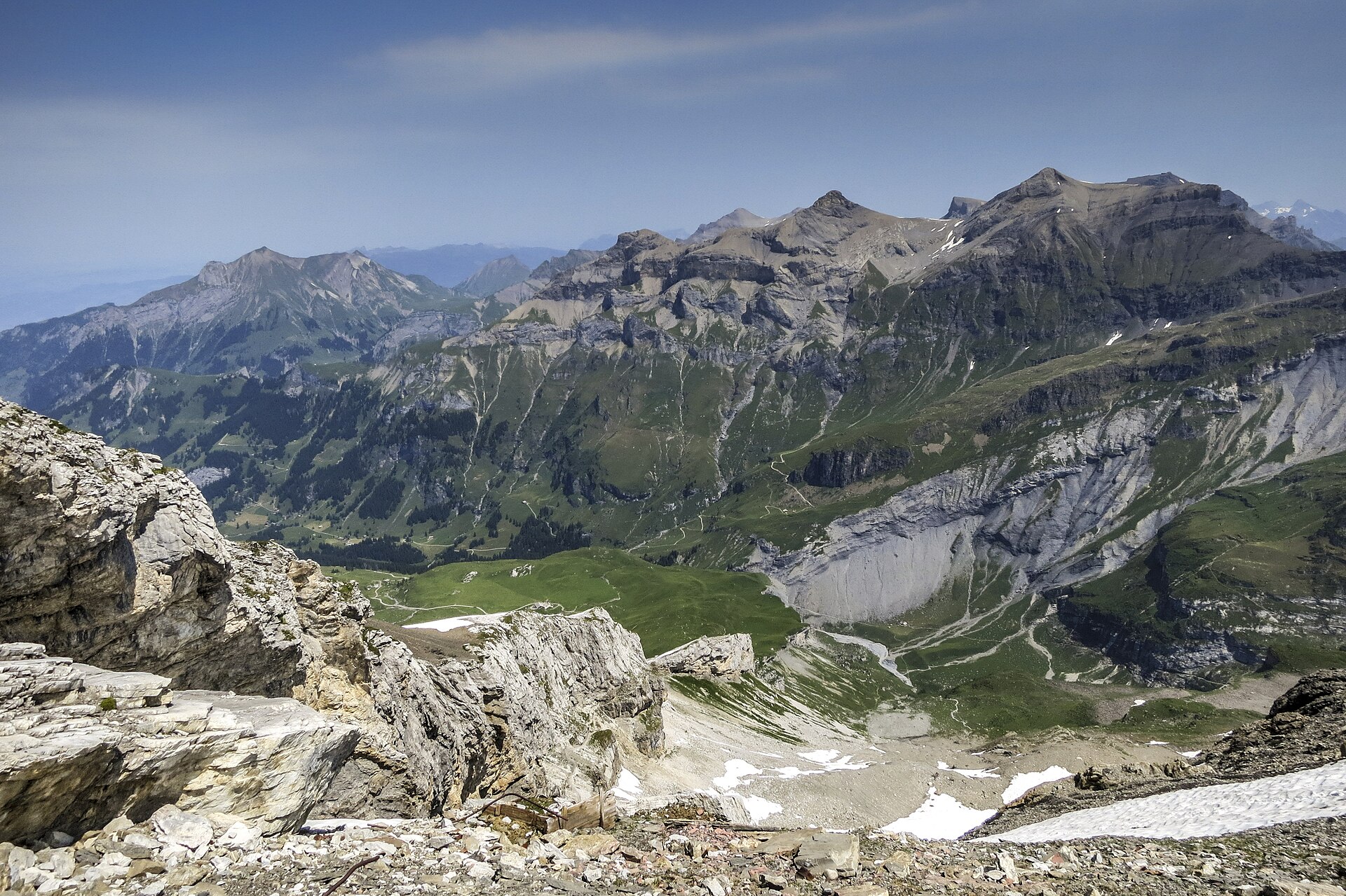
The heart of the Via Alpina: six days from Meiringen to Lenk beneath the Wetterhorn, Eiger and Jungfrau, over the Grosse and Kleine Scheidegg, the Sefinenfurgge, the Hohtürli, the Bunderchrinde and the Hahnenmoos. Nights are in Grindelwald, Lauterbrunnen, the hamlet of Griesalp, Kandersteg and Adelboden, all with hotels and guesthouses that fill up in July and August. The Sefinenfurgge and Hohtürli are steep and can hold snow into July; the season runs from about late June to late September.
Stages
A suggested split into 6 days of about 18.7 km (11.6 mi). Each day ends at the town or village on the way nearest to an equal share of the distance, or at a hotel or hostel where there is none. These are not the official stages: check where you can stay before you book.
- Day 1 Meiringen to Grindelwald 23 km · 23 km from the start
- Day 2 Grindelwald to Lauterbrunnen 19.9 km · 43 km from the start
- Day 3 Lauterbrunnen to Griesalp 22 km · 65 km from the start
- Day 4 Griesalp to Kandersteg 16.8 km · 81 km from the start
- Day 5 Kandersteg to Adelboden 16.8 km · 98 km from the start
- Day 6 Adelboden to Lenk 13.7 km · 112 km from the start
Summits on the way
- Schlafhubel 2,035 m · 14.5 km from the start
- Mittelberg 1,753 m · 47 km from the start
- Bryndli 2,132 m · 52 km from the start
- Rumpfmasflue 2,103 m · 61 km from the start
- Fuli Flue 2,119 m · 74 km from the start
Tops within 300 m of the line. Summits from OpenStreetMap.
Start and finish
Start: near Meiringen, Interlaken-Oberhasli administrative district. 46.72747, 8.18722
Finish: near Lenk, Obersimmental-Saanen administrative district. 46.45781, 7.44390
Places to stay
Rooms in the towns and villages along the way:
- Meiringen, Interlaken-Oberhasli administrative district · The start Booking.com → Expedia →
- Grindelwald, Interlaken-Oberhasli administrative district · After day 1 Booking.com → Expedia →
- Lauterbrunnen, Interlaken-Oberhasli administrative district · After day 2 Booking.com → Expedia →
- Griesalp, Frutigen-Niedersimmental administrative district · After day 3 Booking.com → Expedia →
- Kandersteg, Frutigen-Niedersimmental administrative district · After day 4 Booking.com → Expedia →
- Adelboden, Frutigen-Niedersimmental administrative district · After day 5 Booking.com → Expedia →
- Lenk, Obersimmental-Saanen administrative district · The finish Booking.com → Expedia →
Affiliate links: if you book, Global Adventurer earns a small commission at no cost to you.
Paths change, and the weather decides the day. The line comes from the source named under the map and the heights from a terrain model, so treat the figures as a guide. Check for diversions before you go, take a map, check the forecast, and turn back if it isn't right.


