The line is OpenStreetMap's mapping of the route (© OpenStreetMap contributors, ODbL), via Waymarked Trails, with heights from a 30 m terrain model. Check the current official route before a long trip: diversions and permitted paths change. See the source.
The route
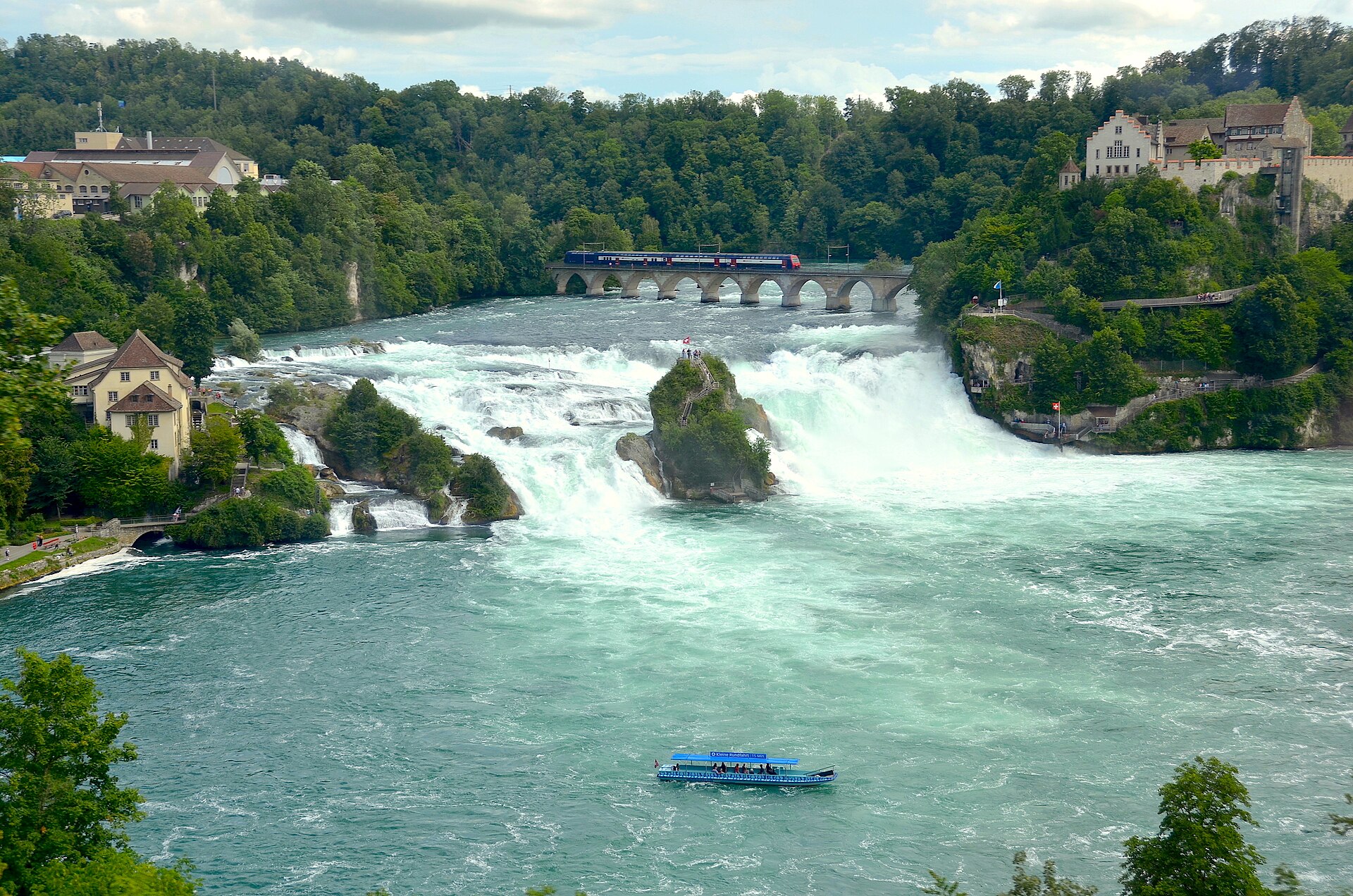
Switzerland's national cycle route 2 follows the Rhine for about 430 km from Andermatt over the Oberalp Pass to the young Vorderrhein, down by Disentis and above the Ruinaulta gorge to Chur, along the Liechtenstein border to Lake Constance, then west along the High Rhine by Stein am Rhein, the Rhine Falls and Rheinfelden to Basel. After the first day's climb it is mostly downhill or level, on cycle paths and quiet roads, and it is the Swiss part of EuroVelo 15.
Stages
A suggested split into 9 days of about 47 km (29 mi). Each day ends at the town or village on the way nearest to an equal share of the distance, or at a hotel or hostel where there is none. These are not the official stages: check where you can stay before you book.
- Day 1 Andermatt to Disentis 32 km · 32 km from the start
- Day 2 Disentis to Chur 66 km · 98 km from the start
- Day 3 Chur to Buchs 47 km · 145 km from the start
- Day 4 Buchs to St. Margrethen 42 km · 186 km from the start
- Day 5 St. Margrethen to Kreuzlingen 63 km · 249 km from the start
- Day 6 Kreuzlingen to Schaffhausen 49 km · 298 km from the start
- Day 7 Schaffhausen to Bad Zurzach 51 km · 350 km from the start
- Day 8 Bad Zurzach to Rheinfelden 54 km · 404 km from the start
- Day 9 Rheinfelden to Basel 22 km · 426 km from the start
Start and finish
Start: near Andermatt, Korporation Ursern. 46.63713, 8.59487
Finish: near Basel, Basel-City. 47.55951, 7.58852
Places to stay
Rooms in the towns and villages along the way:
- Andermatt, Korporation Ursern · The start Booking.com → Expedia →
- Disentis, Surselva · After day 1 Booking.com → Expedia →
- Chur, Plessur · After day 2 Booking.com → Expedia →
- Buchs, Wahlkreis Werdenberg · After day 3 Booking.com → Expedia →
- St. Margrethen, Wahlkreis Rheintal · After day 4 Booking.com → Expedia →
- Kreuzlingen, Bezirk Kreuzlingen · After day 5 Booking.com → Expedia →
- Schaffhausen, Bezirk Schaffhausen · After day 6 Booking.com → Expedia →
- Bad Zurzach, Bezirk Zurzach · After day 7 Booking.com → Expedia →
- Rheinfelden, Bezirk Rheinfelden · After day 8 Booking.com → Expedia →
- Basel, Basel-City · The finish Booking.com → Expedia →
Affiliate links: if you book, Global Adventurer earns a small commission at no cost to you.
Roads and paths change, and surfaces vary with the weather. The line comes from the source named under the map and the heights from a terrain model, so treat the figures as a guide. Check for diversions before you go, ride to what you find, and give way to walkers and horses.


