Line © OpenStreetMap contributors (ODbL), checked by Global Adventurer.
The walk
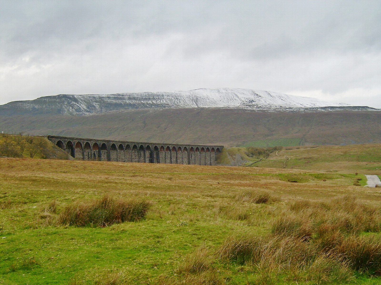
The walk starts from the roadside parking at Ribblehead, near the junction of the B6255 and the Horton road, and makes a circuit. A track leads to the Ribblehead Viaduct, and a path follows the railway north past Blea Moor signal box to an aqueduct over the line beside Force Gill. A pitched path climbs west onto the long summit ridge and follows the wall south to the trig point on Whernside (736 m), the highest point in North Yorkshire. The way down continues along the ridge, then drops steeply south-east to the farm at Bruntscar. Tracks and field paths lead east by Ivescar and Gunnerfleet, under the viaduct and back to the start.
It is 12.7 km with 463 m of ascent; allow about 4½ hours. The grade is Moderate: a long steady climb on good paths, with a steep stepped descent.
The climb is long and steady and the ridge is high and exposed: the National Park's reminder is that it gets colder and windier as you go up. The descent to Bruntscar is steep, much of it on stone-pitched steps that are hard on the knees and slippery in the wet. In mist the ridge wall is the guide.
Parking is in free lay-bys, which fill early at weekends; there are no toilets. Ribblehead station, on the Settle to Carlisle line, is 350 m away.
Route drawn by Global Adventurer along OpenStreetMap paths (© OpenStreetMap contributors, ODbL), with figures worked out from it. Check the forecast and the ground on the day: paths change.
Good to know
- Whernside, 736 m, is the highest of the Three Peaks and the highest point in North Yorkshire
- Starts beside the 24 arches of the Ribblehead Viaduct on the Settle to Carlisle railway
- Up by Blea Moor signal box and Force Gill, along the summit ridge, down to Bruntscar
- Ribblehead station is a few minutes from the start
Summits on the way
- Whernside 737 m
Getting there
Start: Ribblehead · Free parking. 54.20889, -2.36066
By train: Ribblehead station is 0.4 km from the start.
Places to stay nearby
Rooms in and around Ribblehead: Booking.com → Expedia →
Affiliate links: if you book, Global Adventurer earns a small commission at no cost to you.
Paths change, and the weather decides the day. The line and figures come from OpenStreetMap and our own checks; take a map, check the forecast, and turn back if it isn't right.


