Line © OpenStreetMap contributors (ODbL), checked by Global Adventurer.
The walk
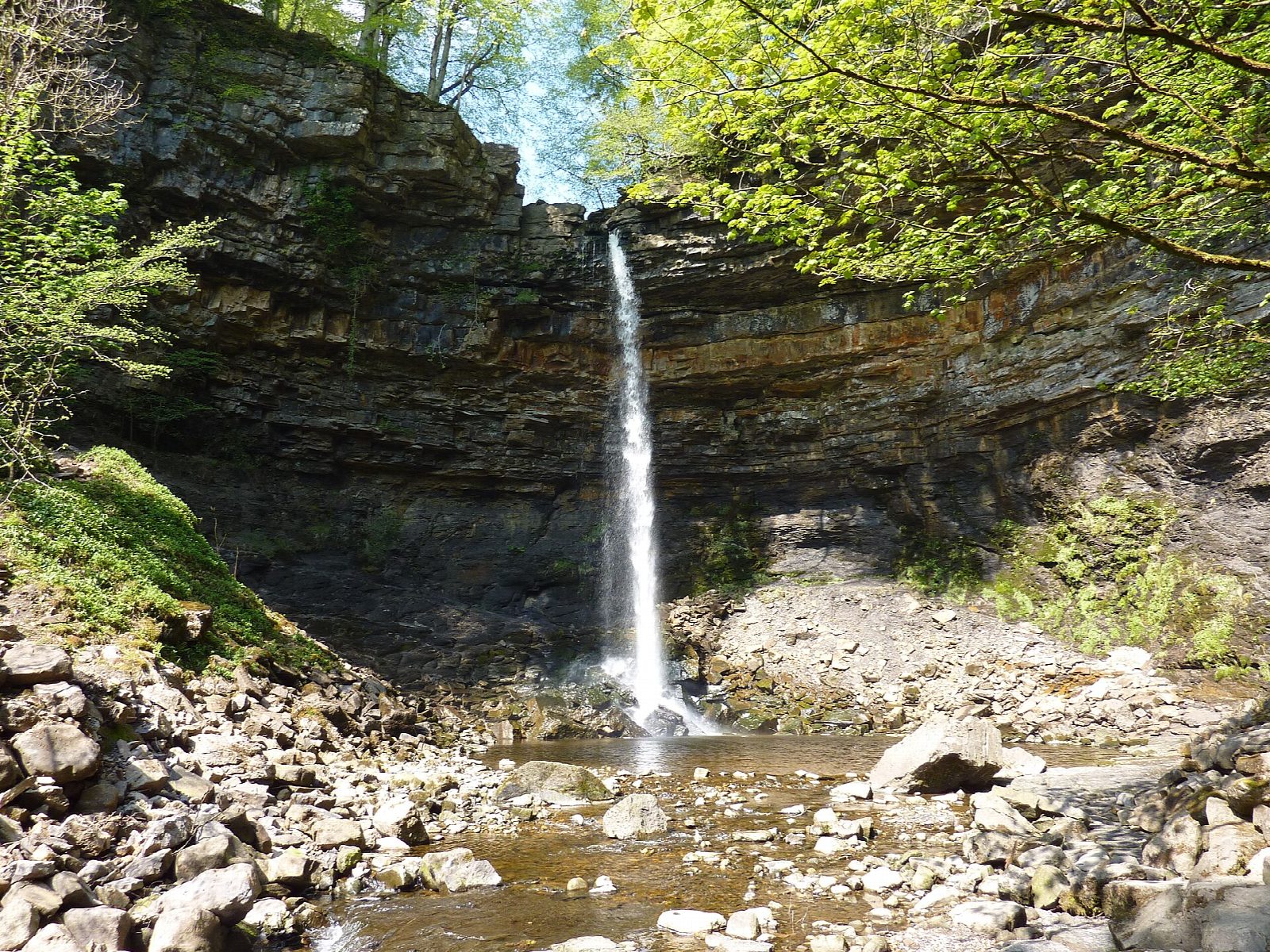
The walk starts from the National Park car park at the Dales Countryside Museum in Hawes and makes a circuit. It follows the road north to Haylands Bridge over the River Ure, then the flagged Pennine Way across the fields to the hamlet of Hardraw. Hardraw Force is reached through the grounds behind the Green Dragon Inn, where a path leads up the wooded gorge to the fall. Back in Hardraw, a path climbs the fields to Simonstone and another runs east across the hillside to Sedbusk. Field paths drop back to Haylands Bridge and the road into Hawes.
It is 7.0 km with 139 m of ascent; allow about 2 hours. The grade is Easy: it is short, though the field paths go up and down and have many stiles.
The waterfall is on private land and there is an entry charge, about £4 a person; without it the walk is about 1 km shorter. The National Park calls the field paths quite strenuous, with many narrow stiles, ladder stiles and gates, and says parts become boggy when wet. The road to Haylands Bridge has no pavement for a stretch, so take care.
The National Park car park costs £3.80 for up to two hours, £6 for longer and £7 for 24 hours. There is no station nearby; the Little White Bus links Hawes with Garsdale station.
Route drawn by Global Adventurer along OpenStreetMap paths (© OpenStreetMap contributors, ODbL), with figures worked out from it. Check the forecast and the ground on the day: paths change.
Good to know
- Hardraw Force, the highest single-drop waterfall in England
- The fall is in private grounds behind the Green Dragon Inn, with an entry charge
- Out on the flagged Pennine Way from Hawes, back by Simonstone and Sedbusk
- Many narrow stone stiles on the field paths
Getting there
Start: Hawes National Park car park · Pay and display. 54.30448, -2.19248
Places to stay nearby
Rooms in and around Garsdale: Booking.com → Expedia →
Affiliate links: if you book, Global Adventurer earns a small commission at no cost to you.
Paths change, and the weather decides the day. The line and figures come from OpenStreetMap and our own checks; take a map, check the forecast, and turn back if it isn't right.
