Line © OpenStreetMap contributors (ODbL), checked by Global Adventurer.
The hike
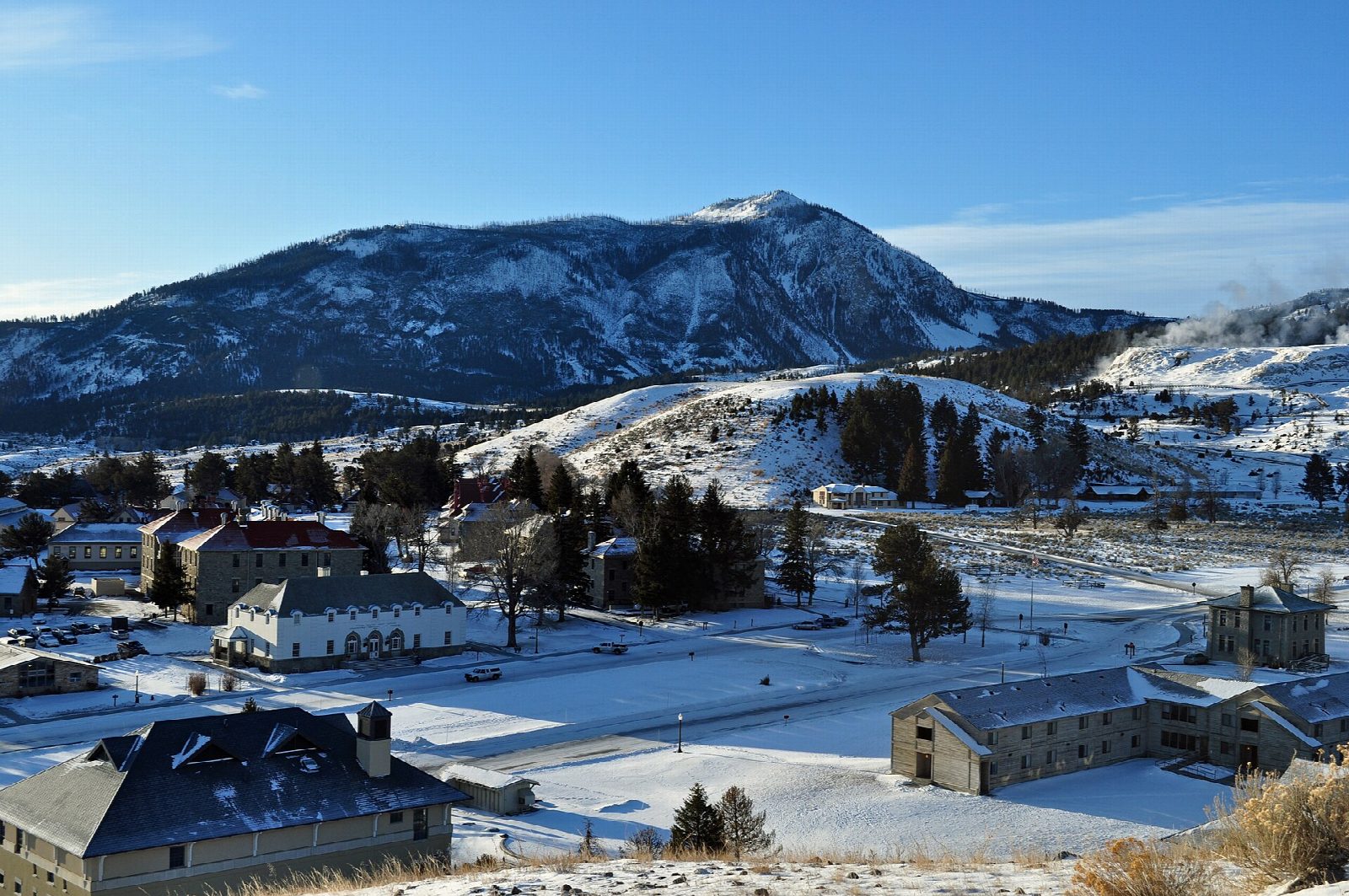
The walk starts at the Bunsen Peak Trailhead on the Grand Loop Road, 5 miles south of Mammoth Hot Springs, in the gravel lot just south of Golden Gate. The trail climbs in switchbacks through forest and open slopes burned in the 1988 fires, past a radio building with communications equipment, to the summit a little beyond, where the footings of an old fire lookout remain. The views take in Swan Lake Flat, the Gallatin Range, Mammoth and the Yellowstone River valley. The peak is named after the German chemist Robert Bunsen. Return the same way.
It is 4.4 miles (7.1 km) round trip with 1,230 feet (376 m) of climbing; allow about 3 hours. The grade is Easy: a steady, unbroken climb on a good trail.
Grizzly bears use this area: carry bear spray, hike in a group and stay at least 100 yards from bears. The burned slopes give little shade, so carry water.
The road from Mammoth to Norris, which passes the trailhead, is open to cars until October 31 in 2026.
Route drawn by Global Adventurer along OpenStreetMap paths (© OpenStreetMap contributors, ODbL), with figures worked out from it. Check the forecast and the ground on the day: paths change.
Good to know
- Named after the chemist Robert Bunsen, who studied geysers in Iceland
- The core of an old volcano above Mammoth, with views over the Gallatin Range
- Burned in 1988 and open at the top: carry water and watch for storms
Summits on the way
- Bunsen Peak 8,527 ft (2,599 m)
Getting there
Start: Bunsen Peak Trailhead. 44.93222, -110.72802
Places to stay nearby
Rooms in and around Yellowstone National Park: Booking.com → Expedia →
Affiliate links: if you book, Global Adventurer earns a small commission at no cost to you.
Paths change, and the weather decides the day. The line and figures come from OpenStreetMap and our own checks; take a map, check the forecast, and turn back if it isn't right.