Line © OpenStreetMap contributors (ODbL), checked by Global Adventurer.
The hike
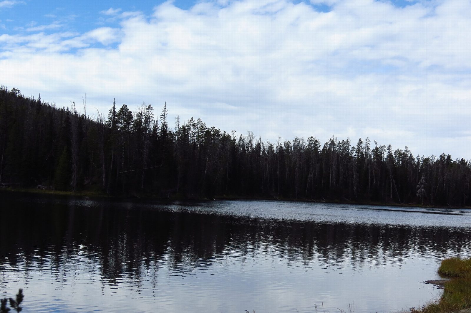
The walk starts at the Avalanche Peak Trailhead on the East Entrance Road, across from Eleanor Lake and 8 miles west of the East Entrance; park at the Eleanor Lake picnic area by the trailhead. The trail climbs straight away through forest that includes whitebark pine, then climbs above the trees to the summit ridge and the top of Avalanche Peak, with views over Yellowstone Lake and the Absaroka Range. Return the same way.
It is 4.4 miles (7.1 km) round trip with 1,920 feet (585 m) of climbing; allow about 4 hours. The grade is Hard: a steep, sustained climb of about 2,000 feet in two miles, ending above 10,000 feet.
This is grizzly country. The park advises against this hike in September and October, when grizzlies come to feed on whitebark pine nuts, so go in July or August. Carry bear spray, hike in a group of three or more, and don't hike after dark. The trail is often under snow until early July, and the top is exposed: watch for lightning, and bring rain gear, a warm hat and gloves even on warm days. Burned trees can fall without warning.
The East Entrance Road is open from May 1 to October 31 in 2026.
Route drawn by Global Adventurer along OpenStreetMap paths (© OpenStreetMap contributors, ODbL), with figures worked out from it. Check the forecast and the ground on the day: paths change.
Good to know
- A short, steep climb from the East Entrance Road to a summit of about 3,220 m
- Views over Yellowstone Lake and the peaks of the Absaroka Range
- Grizzlies feed on these slopes in autumn; the park advises against it from September
Summits on the way
- Avalanche Peak 10,440 ft (3,182 m)
Getting there
Start: Avalanche Peak Trailhead. 44.47052, -110.14264
Places to stay nearby
Rooms in and around Yellowstone National Park: Booking.com → Expedia →
Affiliate links: if you book, Global Adventurer earns a small commission at no cost to you.
Paths change, and the weather decides the day. The line and figures come from OpenStreetMap and our own checks; take a map, check the forecast, and turn back if it isn't right.