Line © OpenStreetMap contributors (ODbL), checked by Global Adventurer.
The walk
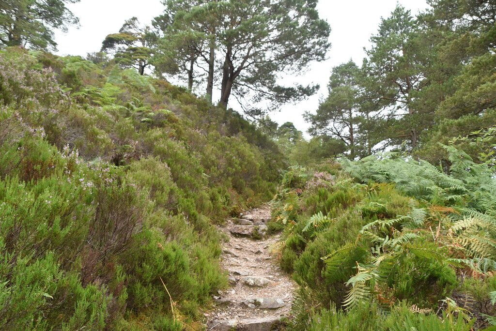
The walk starts from the Coille na Glas Leitire car park on the Loch Maree side of the A832, north of Kinlochewe. The trail passes through the underpass beneath the road, crosses a bridge and climbs through birch woods into the pinewood. It loops round the hillside past broad old Scots pines, with views over Loch Maree to Slioch, and comes back down to the bridge and the car park.
It is 1.8 km with 99 m of ascent; allow about 45 minutes. The grade is Easy: a short trail on a well made, marked path.
Coille na Glas Leitire, the wood of the grey slope, has been here for at least 8,000 years and is a rare remnant of the Caledonian pinewood. NatureScot, which manages the reserve, records the regrowth of the trees at fixed photograph points on the trail. Many of the finest trees were felled in the Second World War. Look out for crossbills, pine martens and, overhead, golden eagles. The longer Mountain Trail starts from the same car park.
Parking is free. There is no station nearby.
Route drawn by Global Adventurer along OpenStreetMap paths (© OpenStreetMap contributors, ODbL), with figures worked out from it. Check the forecast and the ground on the day: paths change.
Good to know
- A short trail through Coille na Glas Leitire, a remnant of the ancient Caledonian pinewood
Getting there
Start: Coille na Glas Leitire car park · Free parking. 57.63067, -5.34884
Places to stay nearby
Rooms in and around Achnashellach: Booking.com → Expedia →
Affiliate links: if you book, Global Adventurer earns a small commission at no cost to you.
Paths change, and the weather decides the day. The line and figures come from OpenStreetMap and our own checks; take a map, check the forecast, and turn back if it isn't right.