Line © OpenStreetMap contributors (ODbL), checked by Global Adventurer.
The walk
The walk starts from the small car park on the A896 opposite the private road to Coulin. It follows the road over the river and along the shore of Loch Clair, looking across the water to Sgùrr Dubh and Liathach. At the head of the loch it keeps straight on along a track beside the river to Loch Coulin, then turns right onto a narrow path along the north-east shore. Beyond the loch the path reaches a track near the house at Torran Cuilinn, crosses the River Coulin by a bridge and returns along the track on the south-west shore and back by Loch Clair.
It is 9.7 km with 57 m of ascent; allow about 2½ hours. The grade is Easy: almost level, on a private road, tracks and a path.
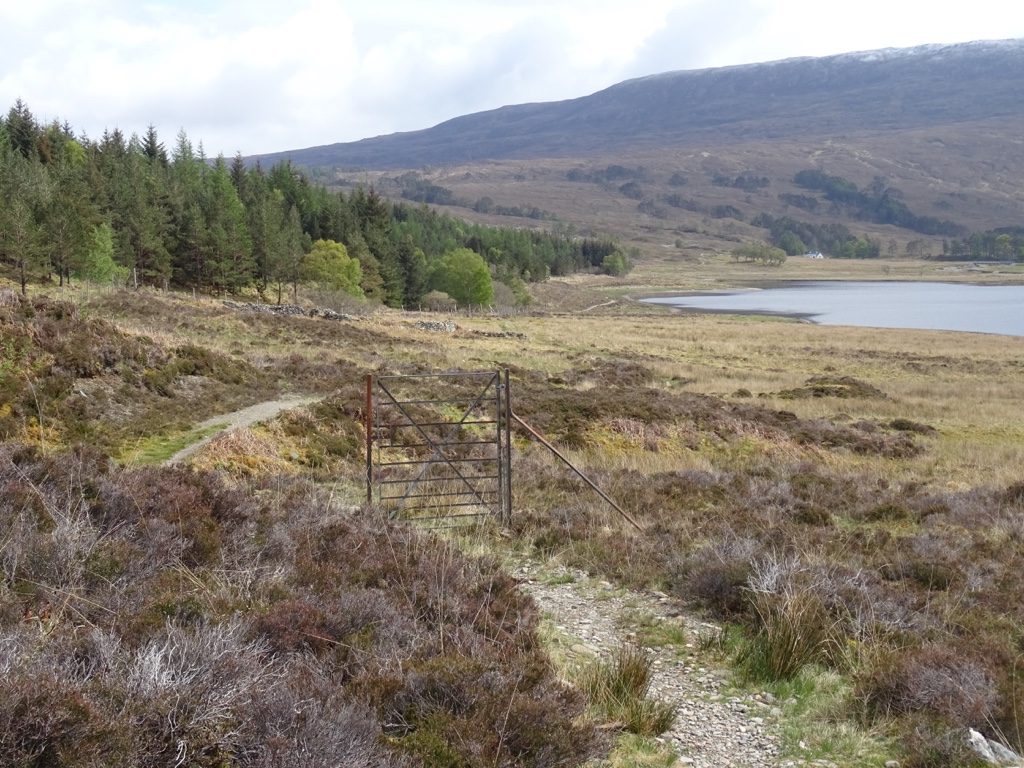
The path along Loch Coulin can be boggy after heavy rain. The view from the shore of Loch Clair to Liathach and Beinn Eighe is one of the classic sights of Torridon. Most of the walk is on private estate ground, so keep to the route, close gates and keep dogs under control.
Parking is free but limited. There is no station nearby.
Route drawn by Global Adventurer along OpenStreetMap paths (© OpenStreetMap contributors, ODbL), with figures worked out from it. Check the forecast and the ground on the day: paths change.
Good to know
- The classic view across Loch Clair to Liathach and Beinn Eighe
- Most of the way is on private estate roads and tracks
Getting there
Start: Loch Clair car park, A896 · Free parking. 57.56923, -5.34184
Places to stay nearby
Rooms in and around Loch Clair car park: Booking.com → Expedia →
Affiliate links: if you book, Global Adventurer earns a small commission at no cost to you.
Paths change, and the weather decides the day. The line and figures come from OpenStreetMap and our own checks; take a map, check the forecast, and turn back if it isn't right.