Line © OpenStreetMap contributors (ODbL), checked by Global Adventurer.
The walk
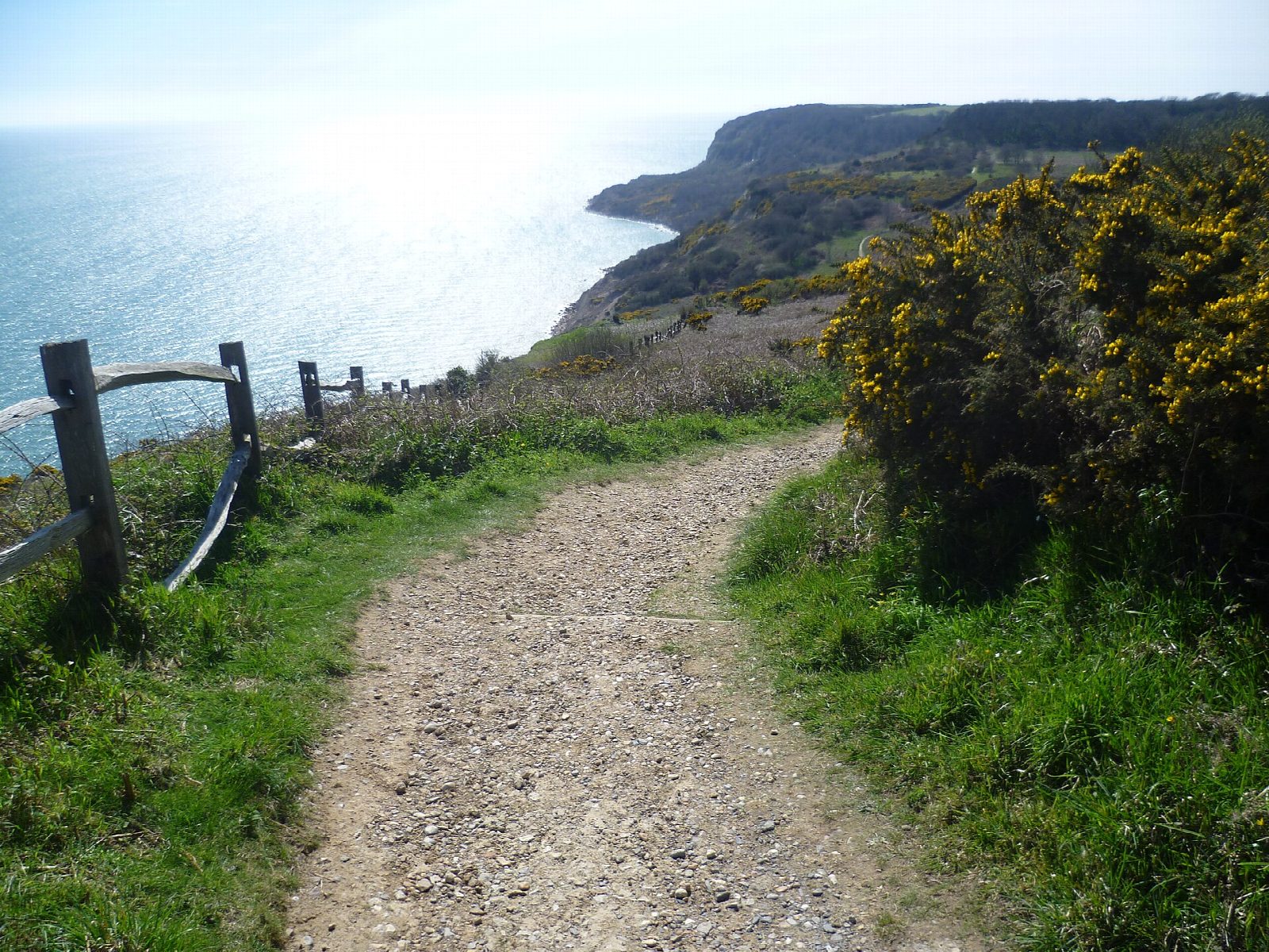
From the car park by The Bale House, the visitor centre, the walk goes south to the cliff top above Lee Ness Ledge and turns west, dropping steeply into Warren Glen. It follows the coast path west above the cliffs, then goes down long flights of steps into wooded Fairlight Glen and up again beside the stream, past the Dripping Well. At the top it turns inland to Barley Lane and comes back east along the high ground to the visitor centre.
It is 4.8 km with 192 m of ascent; allow about 1½ hours. The grade is Easy: short, but the steps in and out of the glens are steep and tiring.
The sandstone cliffs are soft and crumbling: keep well back from the edge. The glens are on clay and are muddy and slippery after rain. There is no safe way down to the sea; the old path to the beach at Fairlight Glen is officially closed. Sussex cattle and Exmoor ponies graze the park, so keep dogs under control.
The car park charges £3.40 for two hours and £4.90 for the day from 8 am to 4 pm, 1 April to 31 October; no winter charge is listed. The nearest station is Ore, about 4 km away. Bus 101 runs from Hastings to Fairlight, but not on Sundays.
Route drawn by Global Adventurer along OpenStreetMap paths (© OpenStreetMap contributors, ODbL), with figures worked out from it. Check the forecast and the ground on the day: paths change.
Good to know
- Down into Warren Glen, west along the sandstone cliffs and steeply in and out of wooded Fairlight Glen
- Past the Dripping Well and back along the top by Barley Lane
- The country park has about 5 km of soft, crumbling sandstone cliff
- Sussex cattle and Exmoor ponies graze the glens
Getting there
Start: Hastings Country Park visitor centre car park · Pay and display. 50.87352, 0.64316
Places to stay nearby
Rooms in and around Ore: Booking.com → Expedia →
Affiliate links: if you book, Global Adventurer earns a small commission at no cost to you.
Paths change, and the weather decides the day. The line and figures come from OpenStreetMap and our own checks; take a map, check the forecast, and turn back if it isn't right.
