Line © OpenStreetMap contributors (ODbL), checked by Global Adventurer.
The walk
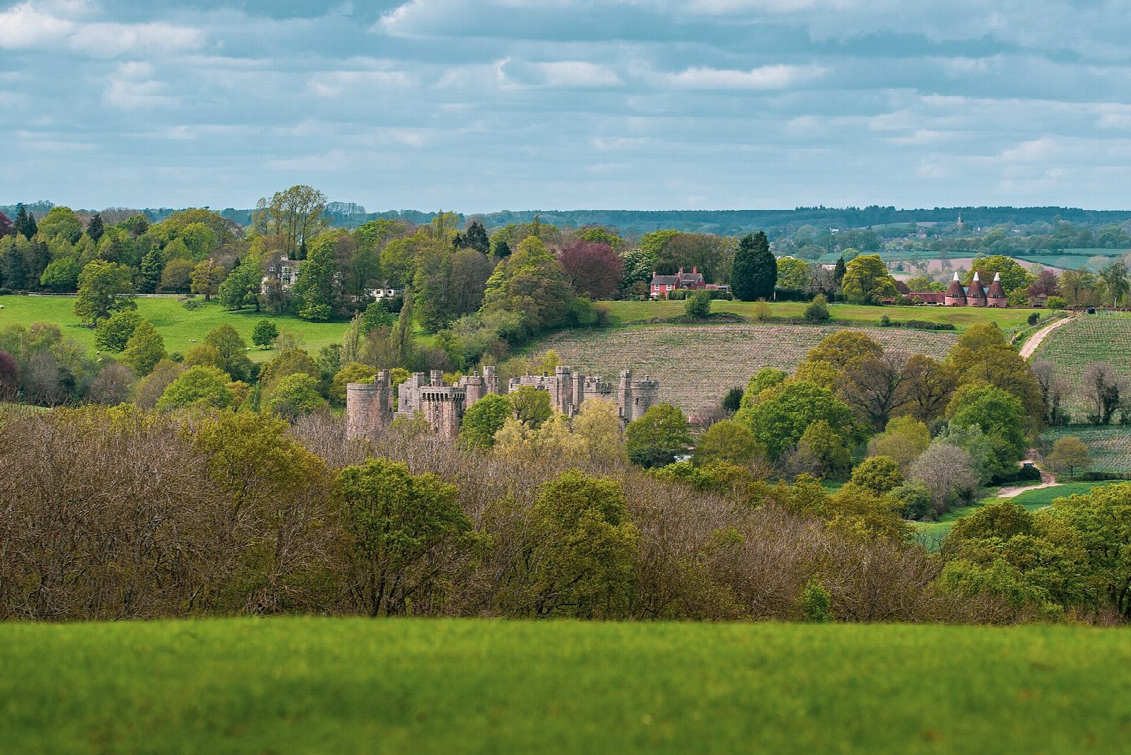
From the National Trust car park the walk first goes up the public footpath beside the moat of Bodiam Castle, a 14th-century castle, for the view of its walls and towers, then comes back to the road and crosses the bridge over the River Rother. Just beyond the bridge a signed footpath, the Sussex Border Path, leaves the road on the left. It crosses the river meadow and the line of the Kent and East Sussex Railway, then climbs by field edges to the lane at Ewhurst Green, a village on the ridge with the church of St James the Great and the White Dog Inn. The return is the same way, with the castle in view across the valley.
It is 4.5 km with 54 m of ascent; allow about 1½ hours. The grade is Easy: a short field walk with one gentle climb.
The fields are muddy after rain and there are stiles, awkward for big dogs. Cattle are sometimes in the fields. The railway crossing has no gates: steam trains run on some days, so stop, look and listen.
The car park charges those who are not National Trust members, £5 according to a 2026 guide. The footpath beside the moat is free; going into the castle is not. There is no station near; the nearest is Robertsbridge, about 5 km away.
Route drawn by Global Adventurer along OpenStreetMap paths (© OpenStreetMap contributors, ODbL), with figures worked out from it. Check the forecast and the ground on the day: paths change.
Good to know
- Up the public footpath beside the moat of Bodiam Castle, a 14th-century castle, for the view of its walls and towers
- Over the River Rother, across the steam railway and up the Sussex Border Path to Ewhurst Green
- Ewhurst Green is a ridge-top village with the church of St James the Great and the White Dog Inn
- The Kent and East Sussex Railway runs steam trains to Bodiam station
Getting there
Start: Bodiam Castle car park · Pay and display. 51.00031, 0.54214
Places to stay nearby
Rooms in and around Robertsbridge: Booking.com → Expedia →
Affiliate links: if you book, Global Adventurer earns a small commission at no cost to you.
Paths change, and the weather decides the day. The line and figures come from OpenStreetMap and our own checks; take a map, check the forecast, and turn back if it isn't right.
