Line © OpenStreetMap contributors (ODbL), checked by Global Adventurer.
The walk
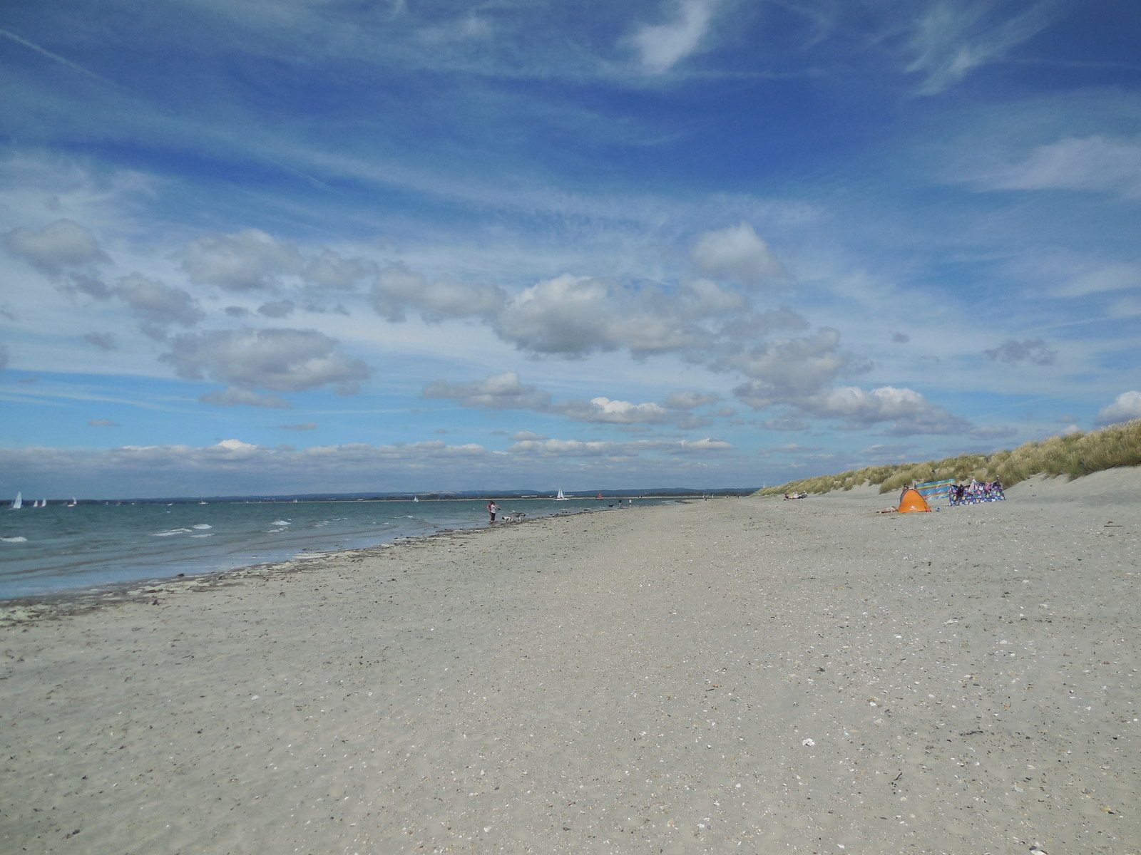
From the beach car park the walk goes west along the path behind the beach to the Hinge, the narrow neck that joins East Head to the land. It follows the seaward shore north to the tip of the spit, where Chichester Harbour opens out, and comes back down the sheltered eastern side beside the salt marsh to the Hinge and the car park. East Head belongs to the National Trust: sand dunes held together by marram grass, and a Site of Special Scientific Interest.
It is 3.5 km and flat, with 0 m of ascent; allow about 1 hour. The grade is Easy: level, though soft sand is slow going.
It is best at low tide. When the tide is 4.6 m or higher, walk through the dunes rather than round the shore. Keep out of the roped-off dunes and away from the birds that roost at high tide; from September to March the Trust signs a winter route. Currents at the Hinge are dangerous: do not swim there.
The West Wittering Estate car park is open from 6.30 am to 8.30 pm. In October it costs £8 on weekdays and £12 at weekends, less if booked the night before, less again in winter and more in summer, when it can sell out. There is no station near; buses 52 and 53 run from Chichester.
Route drawn by Global Adventurer along OpenStreetMap paths (© OpenStreetMap contributors, ODbL), with figures worked out from it. Check the forecast and the ground on the day: paths change.
Good to know
- Round East Head, the sand and shingle spit at the mouth of Chichester Harbour
- National Trust dunes joined to the beach by a narrow neck, the Hinge
- Best at low tide; keep out of the roped-off dunes and away from roosting birds
- The beach car park is dear in summer and can sell out: book ahead
Getting there
Start: West Wittering beach car park · Pay and display. 50.77791, -0.91060
Places to stay nearby
Rooms in and around Nutbourne: Booking.com → Expedia →
Affiliate links: if you book, Global Adventurer earns a small commission at no cost to you.
Paths change, and the weather decides the day. The line and figures come from OpenStreetMap and our own checks; take a map, check the forecast, and turn back if it isn't right.
