Line © OpenStreetMap contributors (ODbL), checked by Global Adventurer.
The walk
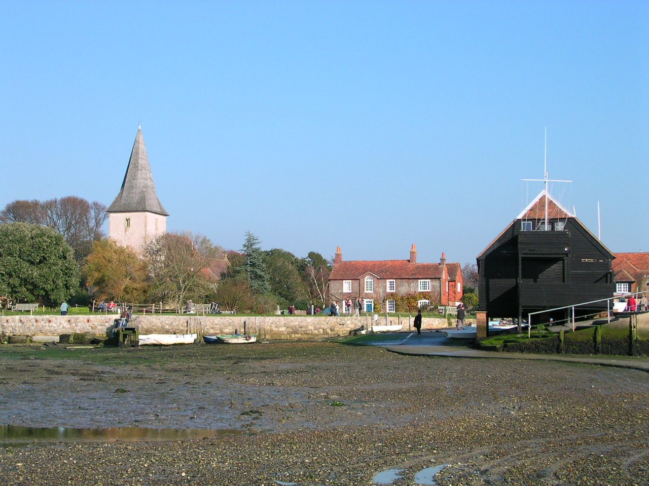
From the Bosham Lane car park the walk takes the path by Bosham Walk, the craft shops, to Holy Trinity church and Quay Meadow, then goes out to the quay. It follows Shore Road east along the edge of the harbour to the head of the creek, and comes back along the Trippett, the raised path behind the shoreline gardens, and up the High Street to the car park.
It is 2.2 km and flat, with 0 m of ascent; allow about half an hour. The grade is Easy: it is level and mostly on firm paths and quiet roads.
Shore Road is under water at high tide. Check the tide table before you set out; when the tide is in, use the Trippett both ways. Bosham church is older than the Norman Conquest and is shown on the Bayeux Tapestry, with Harold riding to Bosham before he sailed for Normandy. Quay Meadow belongs to the National Trust, and the raised path is said to be built of ballast stone from ships.
The car park is pay and display, with toilets: £1.10 for an hour and £2.20 for two on the 2025 tariff, which may since have gone up. The nearest station is Bosham, about 1.6 km away. The sea-wall path north-west of the village has been closed by erosion since 2025; it is not on this walk.
Route drawn by Global Adventurer along OpenStreetMap paths (© OpenStreetMap contributors, ODbL), with figures worked out from it. Check the forecast and the ground on the day: paths change.
Good to know
- Round the old harbour village: Holy Trinity church, the quay and the shore road
- The church is Saxon and is shown on the Bayeux Tapestry
- Shore Road is under water at high tide: come back along the raised path, the Trippett
- Quay Meadow belongs to the National Trust
Getting there
Start: Bosham Lane car park · Pay and display. 50.83001, -0.85641
By train: Bosham station is 1.6 km from the start.
Places to stay nearby
Rooms in and around Bosham: Booking.com → Expedia →
Affiliate links: if you book, Global Adventurer earns a small commission at no cost to you.
Paths change, and the weather decides the day. The line and figures come from OpenStreetMap and our own checks; take a map, check the forecast, and turn back if it isn't right.

