Line © OpenStreetMap contributors (ODbL), checked by Global Adventurer.
The walk
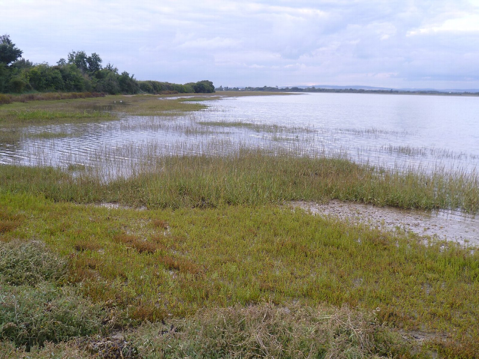
From the RSPB visitor centre the walk passes the Ferry Pool and follows the public footpath along the sea wall down the west side of Pagham Harbour, with the mudflats and salt marsh on the left. After nearly 3 km it reaches Church Norton, where St Wilfrid's Chapel, of the 13th century, stands in its churchyard beside the harbour. The path goes on past the hide to the shingle beach near the harbour mouth. The return is the same way.
It is 5.8 km and flat, with 0 m of ascent; allow about 1½ hours. The grade is Easy: level, on a sea wall and field-edge paths.
A short length of the path just north of the Church Norton hide is covered at high tide, so check the tide table or ask at the visitor centre. The path can be muddy and waterlogged. Dogs are allowed on the public footpath under close control, but not on the Discovery trail by the visitor centre. Part of the shingle spit at Church Norton is fenced off to protect ground-nesting birds: keep out of it. The harbour mouth cannot be crossed: the currents are dangerous and the mud is soft.
The visitor centre car park costs £2 for up to four hours and £3 for longer, and is free to RSPB and Sussex Wildlife Trust members. There is no station near.
Route drawn by Global Adventurer along OpenStreetMap paths (© OpenStreetMap contributors, ODbL), with figures worked out from it. Check the forecast and the ground on the day: paths change.
Good to know
- Down the west side of Pagham Harbour from the RSPB visitor centre to Church Norton
- St Wilfrid's Chapel at Church Norton dates from the 13th century
- Out to the shingle beach by the harbour mouth, which cannot be crossed
- The path starts past the Ferry Pool, where waders and wildfowl gather
Getting there
Start: RSPB Pagham Harbour visitor centre · Pay and display. 50.76262, -0.78648
Places to stay nearby
Rooms in and around Chichester: Booking.com → Expedia →
Affiliate links: if you book, Global Adventurer earns a small commission at no cost to you.
Paths change, and the weather decides the day. The line and figures come from OpenStreetMap and our own checks; take a map, check the forecast, and turn back if it isn't right.
