Line © OpenStreetMap contributors (ODbL), checked by Global Adventurer.
The walk
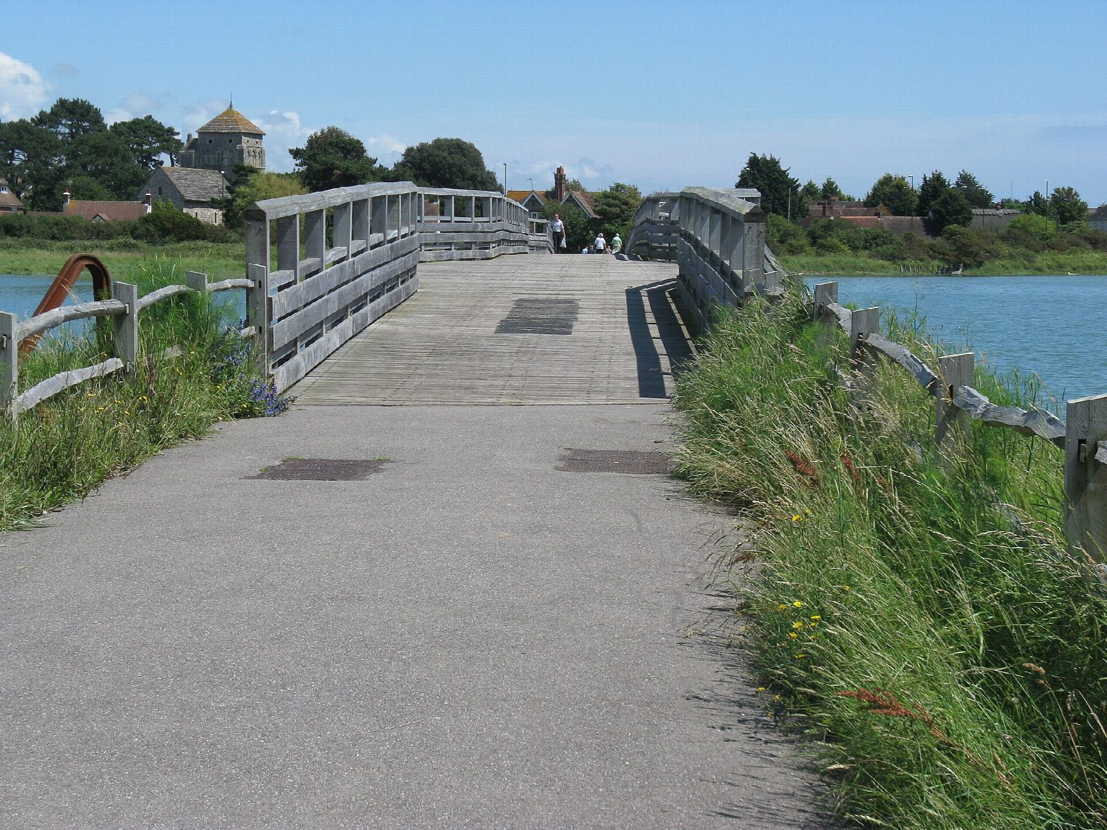
From the car park at Adur Recreation Ground the walk goes north along the west bank of the Adur, between the river and Shoreham Airport, to the Old Shoreham Toll Bridge. It crosses the river on the bridge's timber deck, turns south on the east bank along the Downs Link, the line of the old railway to Steyning, and comes into the town at Ropetackle. It returns over the Norfolk Bridge on the A259 to the recreation ground.
It is 3.5 km and flat, with 0 m of ascent; allow about 1 hour. The grade is Easy: level and on firm paths throughout.
The river is tidal. At half tide the mud of the RSPB's Adur Estuary reserve is uncovered and the waders feed close to the path; there is no access onto the reserve itself, and dogs must be kept off the mud. The Downs Link is shared with cyclists, and the county council has tree and hedge work planned along it over the winter of 2026 to 2027. The last 500 m is on the pavement of the A259. Do not walk the banks when the river is in flood.
The recreation ground car park is free, with a height barrier of 6 ft 6 in. Shoreham-by-Sea station is about 900 m away. The toll bridge was built in 1781 and carried the main coast road until 1968.
Route drawn by Global Adventurer along OpenStreetMap paths (© OpenStreetMap contributors, ODbL), with figures worked out from it. Check the forecast and the ground on the day: paths change.
Good to know
- Up the west bank of the tidal Adur past the airport to the Old Shoreham Toll Bridge
- The timber bridge of 1781 carried the main coast road until 1968
- Back down the east bank by the Downs Link and over the Norfolk Bridge
- The mud of the RSPB's Adur Estuary reserve is best for waders at half tide
Getting there
Start: Adur Recreation Ground car park, Shoreham · Free parking. 50.83293, -0.28384
By train: Shoreham-by-Sea station is 0.9 km from the start.
Places to stay nearby
Rooms in and around Adur Recreation Ground car park: Booking.com → Expedia →
Affiliate links: if you book, Global Adventurer earns a small commission at no cost to you.
Paths change, and the weather decides the day. The line and figures come from OpenStreetMap and our own checks; take a map, check the forecast, and turn back if it isn't right.
