Line © OpenStreetMap contributors (ODbL), checked by Global Adventurer.
The hike
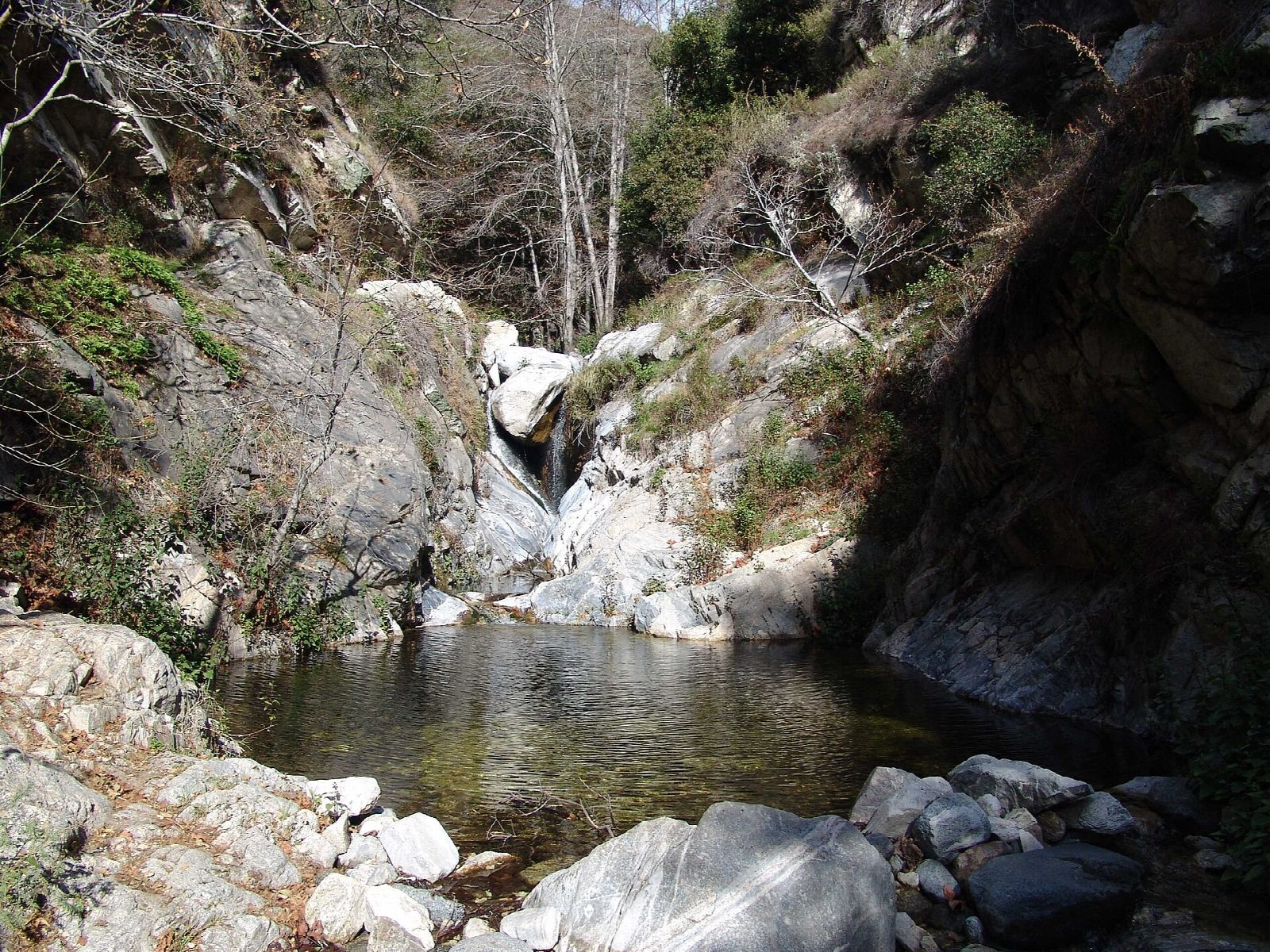
The walk starts at Chantry Flat, at the end of Santa Anita Canyon Road above Arcadia. A paved fire road, the start of the Gabrielino Trail, drops steeply from the parking area into Big Santa Anita Canyon, past the First Water Trail turning, to the canyon floor. The trail then follows the creek upstream under the trees, past old cabins and small dams. Where the Gabrielino Trail divides, about 1.4 miles in, keep right on the path beside the creek, which ends at the foot of Sturtevant Falls. Return the same way: the climb back up the paved road comes last.
It is 3.5 miles (5.6 km) round trip with 600 feet (184 m) of climbing; allow about 2 hours. The grade is Easy: a short walk, with one steep hill at the end.
Cars at Chantry Flat need an Adventure Pass ($5 a day) or an America the Beautiful pass; passes are sold at the Adams Pack Station by the lot. The gate on the road is open from 6 am to 8 pm. The lot is often full by 7 am at weekends. The falls are fullest after winter rain.
The canyon was closed for long spells after the fires of 2020 and 2025 and reopened in April 2025. After heavy rain, check the forest's alerts before you go.
Route drawn by Global Adventurer along OpenStreetMap paths (© OpenStreetMap contributors, ODbL), with figures worked out from it. Check the forecast and the ground on the day: paths change.
Good to know
- Past old cabins in Big Santa Anita Canyon to a waterfall about 15 m high
- Parking needs an Adventure Pass and fills early at weekends
- The start is downhill: the steep climb back up comes at the end
Getting there
Start: Chantry Flat · Parking fee. 34.19625, -118.02274
Places to stay nearby
Rooms in and around Southern California: Booking.com → Expedia →
Affiliate links: if you book, Global Adventurer earns a small commission at no cost to you.
Paths change, and the weather decides the day. The line and figures come from OpenStreetMap and our own checks; take a map, check the forecast, and turn back if it isn't right.
