Line © OpenStreetMap contributors (ODbL), checked by Global Adventurer.
The hike
The walk starts at the Sandstone Peak Trailhead on Yerba Buena Road, a mile beyond the Circle X Ranch ranger station. Climb the Sandstone Peak Trail for a third of a mile and turn right on the connector to the Mishe Mokwa Trail. That trail runs round the head of a canyon, with Balanced Rock and the Echo Cliffs across it, and drops to Split Rock, 1.2 miles on. It then climbs to the Backbone Trail near the turning for Tri-Peaks. Follow the Backbone Trail southeast past the spur to Inspiration Point to the foot of Sandstone Peak, where steps and a short scramble lead to the summit, at 3,111 feet. Go back down to the Backbone Trail and follow it down to the trailhead.
It is a 6.0-mile (9.7 km) loop with 1,010 feet (309 m) of climbing; allow about 3 hours. The grade is Moderate: good trails, with a steady climb and a rocky scramble at the top.
Carry all your water: stream water here is not safe to drink, and the trail is hot and open. Watch for rattlesnakes, ticks, bees and poison oak. There is almost no cell reception. Dogs must be on a leash of six feet or less.
Parking at the trailhead is free, and the recreation area has no entrance fee. The trails are closed during and after extreme weather.
Route drawn by Global Adventurer along OpenStreetMap paths (© OpenStreetMap contributors, ODbL), with figures worked out from it. Check the forecast and the ground on the day: paths change.
Good to know
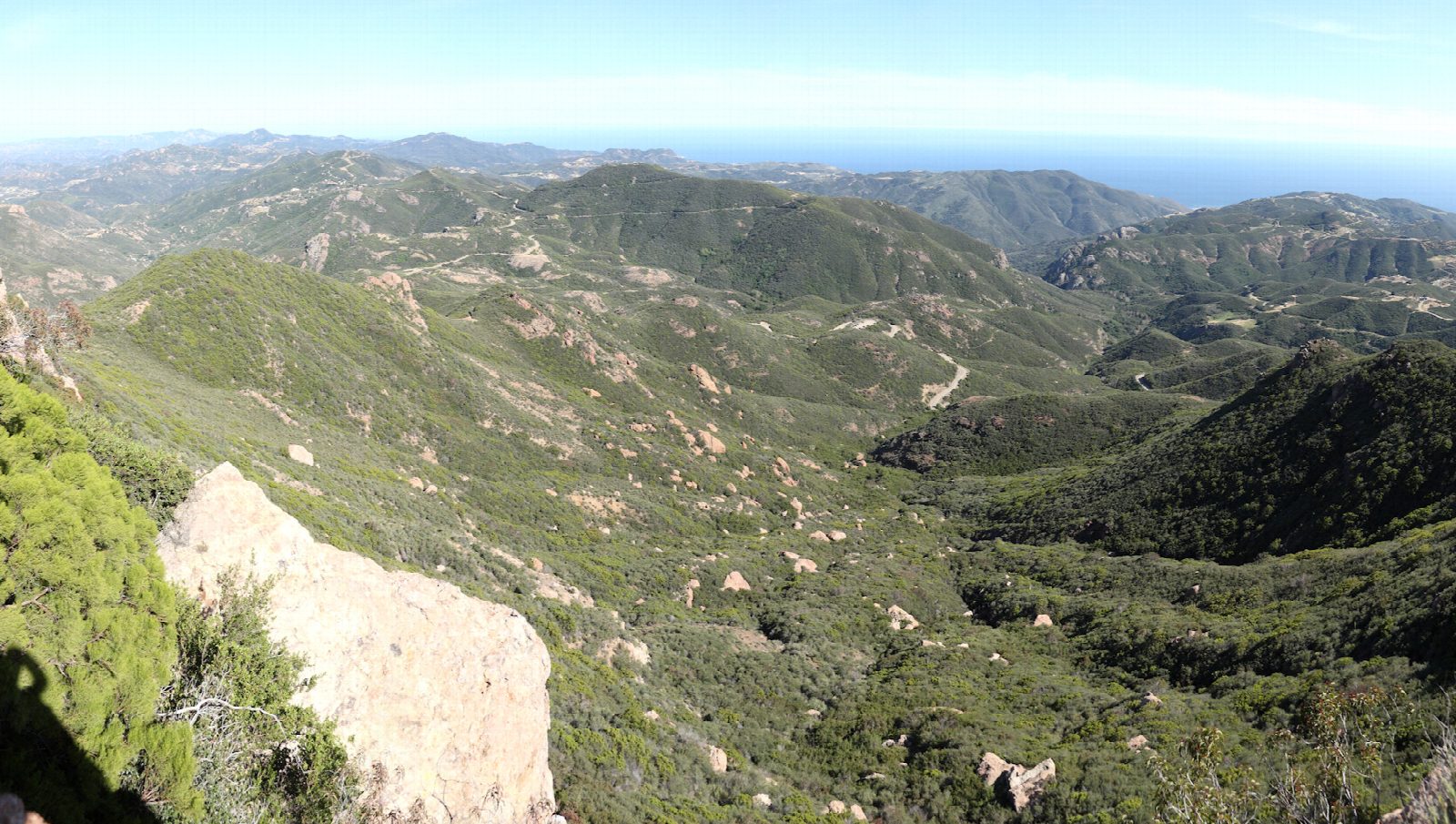
- The highest point of the Santa Monica Mountains, with views to the Channel Islands
- Past Split Rock and below the red volcanic towers of Echo Cliffs
- Steps cut into the rock lead to the summit; parking at the trailhead is free
Summits on the way
- Split Rock · passed close by
- Sandstone Peak 3,110 ft (948 m)
Getting there
Start: Sandstone Peak Trailhead · Free parking. 34.11125, -118.92678
Places to stay nearby
Rooms in and around Southern California: Booking.com → Expedia →
Affiliate links: if you book, Global Adventurer earns a small commission at no cost to you.
Paths change, and the weather decides the day. The line and figures come from OpenStreetMap and our own checks; take a map, check the forecast, and turn back if it isn't right.