Line © OpenStreetMap contributors (ODbL), checked by Global Adventurer.
The walk
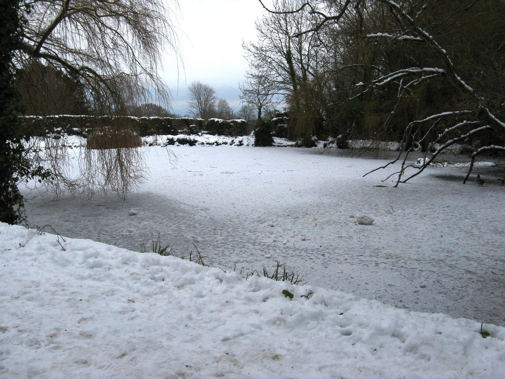
From the National Trust's Park Lane car park the walk goes north through the beech woods of Slindon's medieval deer park to the village pond. It climbs Church Hill, crosses Top Road and takes the farm track north-west across the fields to Nore Folly, an arch built in the early 1800s, with a wide view over the estate. From the folly it carries on north through Nore Wood, turns back south-east down a forest track to the end of the lane at Northwood, and after a short stretch of the lane takes a path east to the top of Mill Lane. The lane drops back into Slindon, and the park woods lead to the car park.
It is 8.0 km with 171 m of ascent; allow about 2½ hours. The grade is Easy: a steady climb to the folly and no steep ground.
Stock graze the estate all year, with electric fencing in places, so keep dogs under close control. Some of the paths are very muddy in winter, and there are gates and stiles. The woods are at their best in bluebell time, from mid-April.
The car park is free and has a 2 m height barrier. There are no toilets on the estate; the Forge shop and café is in the village. The nearest station is Barnham, about 3 km away.
Route drawn by Global Adventurer along OpenStreetMap paths (© OpenStreetMap contributors, ODbL), with figures worked out from it. Check the forecast and the ground on the day: paths change.
Good to know
- Through the beech woods of Slindon's medieval deer park to the village pond
- Up the farm track to Nore Folly, an arch of the early 1800s with a view over the estate to the sea
- Back through Nore Wood and down Mill Lane; bluebells under the beeches from mid-April
- National Trust estate: stock in the fields, mud in winter
Getting there
Start: Park Lane car park, Slindon · Free parking. 50.86108, -0.63654
Places to stay nearby
Rooms in and around Park Lane car park: Booking.com → Expedia →
Affiliate links: if you book, Global Adventurer earns a small commission at no cost to you.
Paths change, and the weather decides the day. The line and figures come from OpenStreetMap and our own checks; take a map, check the forecast, and turn back if it isn't right.
