Line © OpenStreetMap contributors (ODbL), checked by Global Adventurer.
The walk
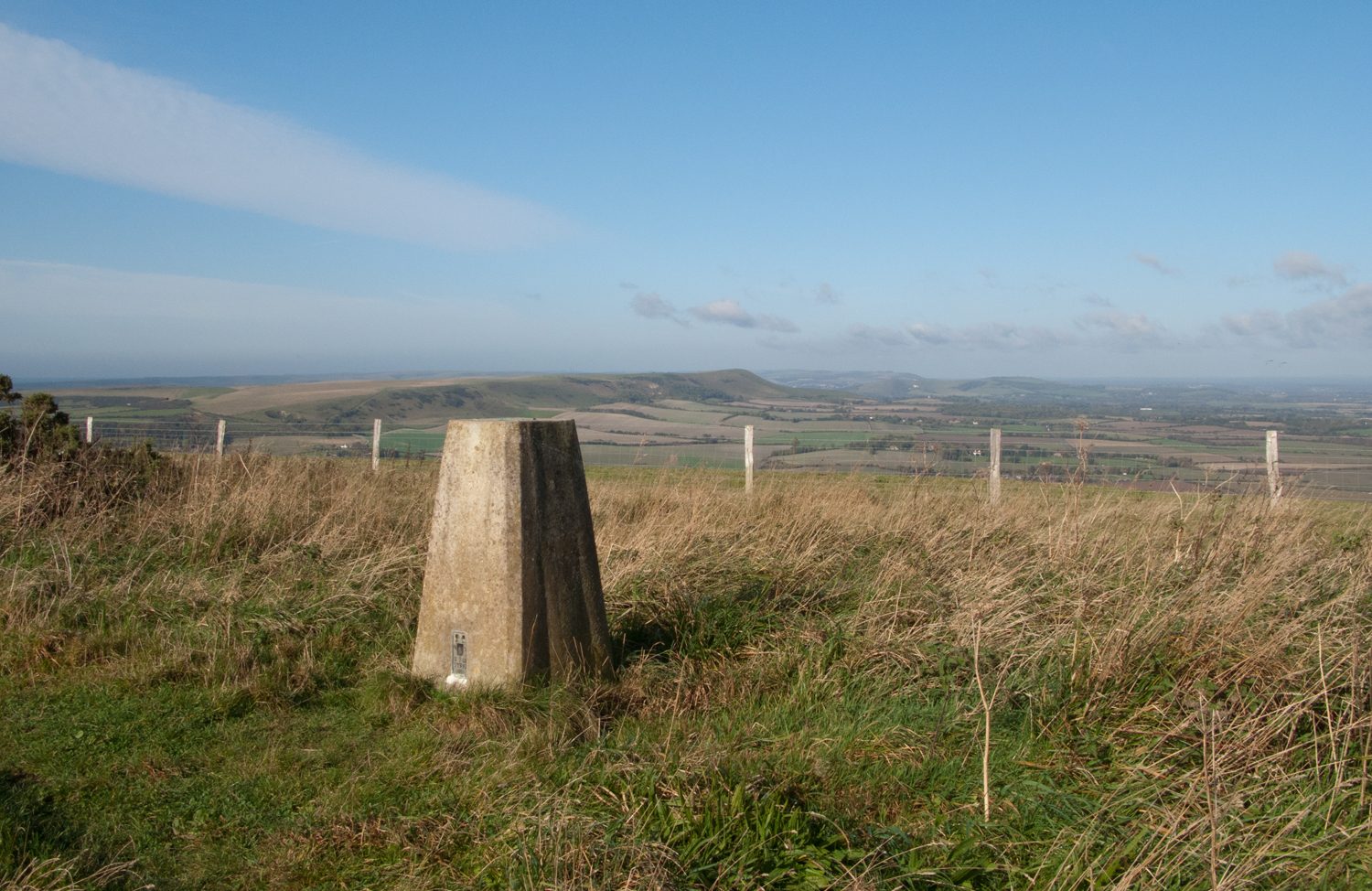
From the car park by Wilmington Priory a path leads south across the field to the gate at the foot of the Long Man, the giant figure on the scarp. The walk turns right along the foot of the slope, then climbs round the shoulder of the hill to the barrows on top of Windover Hill, above the figure's head. It follows the crest east to the trig point on Wilmington Hill at 215 m and takes a path down the scarp to Folkington, going a short way into the hamlet and back. The return is west along the Wealdway, a bridleway through the woods at the foot of the downs, back to Wilmington church and its ancient yew.
It is 5.9 km with 215 m of ascent; allow about 2 hours. The grade is Easy: short, but the climb onto Windover Hill is steep.
The bridleway from Folkington has muddy patches, and boots are a comfort in winter. The first path out of the car park can be overgrown in summer; the lane is the other way to the figure. The Long Man is marked out in painted blocks, not bare chalk.
The car park is free, with a height barrier. The nearest station is Berwick, about 3 km away. The earliest drawing of the Long Man dates from 1710.
Route drawn by Global Adventurer along OpenStreetMap paths (© OpenStreetMap contributors, ODbL), with figures worked out from it. Check the forecast and the ground on the day: paths change.
Good to know
- The Long Man of Wilmington, a figure some 70 m tall on the scarp of Windover Hill, first drawn in 1710
- Round the foot of the figure, up to the barrows on Windover Hill and along the top to Wilmington Hill
- Down to Folkington and back along the Wealdway under the scarp
- The yew in Wilmington churchyard is thought to be some 1,600 years old
Summits on the way
- Windover Hill
- Wilmington Hill 215 m
Getting there
Start: Wilmington Priory car park · Free parking. 50.81664, 0.18960
Places to stay nearby
Rooms in and around Berwick: Booking.com → Expedia →
Affiliate links: if you book, Global Adventurer earns a small commission at no cost to you.
Paths change, and the weather decides the day. The line and figures come from OpenStreetMap and our own checks; take a map, check the forecast, and turn back if it isn't right.
