Line © OpenStreetMap contributors (ODbL), checked by Global Adventurer.
The walk
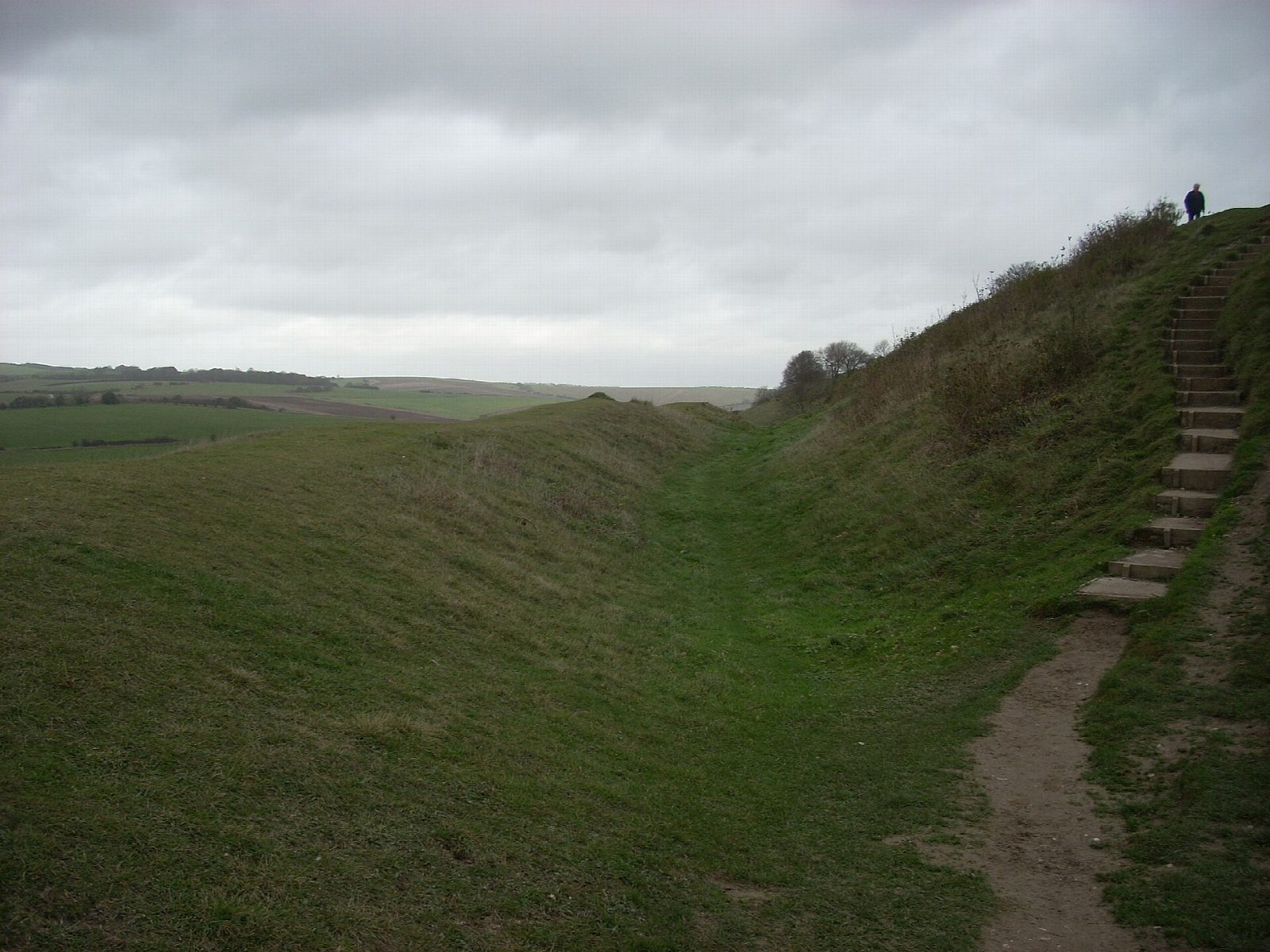
The walk starts at Nepcote, Findon, and climbs east onto the downs to the car park on the north side of Cissbury Ring, the largest hill fort in Sussex. There it goes round the Iron Age rampart, over a mile round: first along the western end, where Neolithic flint mines 5,000 years old pit the ground, then back by the south and east sides to the high point (184 m) inside the ring. It returns to Nepcote the way it came.
It is 5.1 km with 132 m of ascent; allow about 1½ hours. The grade is Easy: a steady climb onto the downs, then fairly level going round the rampart.
The fort is National Trust land grazed by sheep and cattle, so expect gates and stock and keep dogs close. The top is open to the wind, and on a clear day the views run along the coast from Beachy Head to the Isle of Wight.
The start is the parking area at Nepcote, Findon. West Worthing station is about 5 km away in a straight line. There are no mapped water sources on the route.
Route drawn by Global Adventurer along OpenStreetMap paths (© OpenStreetMap contributors, ODbL), with figures worked out from it. Check the forecast and the ground on the day: paths change.
Good to know
- The largest hill fort in Sussex, an Iron Age rampart over a mile round
- Neolithic flint mines pit the western end, 5,000 years old
- Views along the coast from Beachy Head to the Isle of Wight
- National Trust; grazed by sheep and cattle
Summits on the way
- Cissbury Ring 184 m
Getting there
Start: Nepcote, Findon. 50.86520, -0.39723
Places to stay nearby
Rooms in and around Nepcote: Booking.com → Expedia →
Affiliate links: if you book, Global Adventurer earns a small commission at no cost to you.
Paths change, and the weather decides the day. The line and figures come from OpenStreetMap and our own checks; take a map, check the forecast, and turn back if it isn't right.


