Line © OpenStreetMap contributors (ODbL), checked by Global Adventurer.
The walk
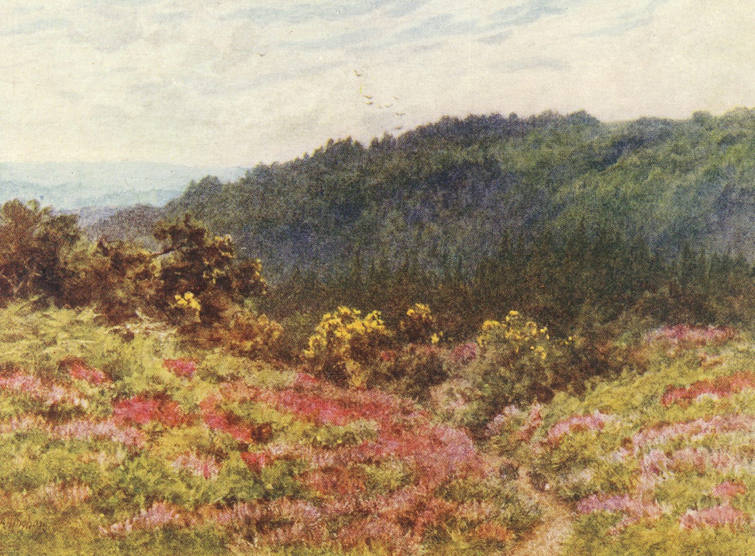
The walk makes a circuit from the Tennyson's Lane car park onto Black Down, a greensand ridge of heather and pine, not chalk. It heads south along the ridge over the top of Black Down (281 m), the highest point in Sussex and in the South Downs National Park, to the Temple of the Winds viewpoint, named for a poem by Tennyson, who lived at Aldworth below the hill. It then drops west to Ridge Hill and comes back north along the western side of the hill. About a sixth of the distance is on road.
It is 5.7 km with 134 m of ascent; allow about 1¾ hours. The grade is Easy: the start is high and the paths are clear, with one short climb back up from Ridge Hill.
The open top catches the wind. The hill has been National Trust land since 1944.
The Tennyson's Lane car park is free. Haslemere station is about 3½ km away in a straight line.
Route drawn by Global Adventurer along OpenStreetMap paths (© OpenStreetMap contributors, ODbL), with figures worked out from it. Check the forecast and the ground on the day: paths change.
Good to know
- The highest point in Sussex and in the South Downs National Park, 280 m
- A greensand ridge of heather and pine, not chalk
- Tennyson lived at Aldworth below the hill; the Temple of the Winds viewpoint is named for his poem
- National Trust land since 1944
Summits on the way
- Black Down 281 m
- Ridge Hill
Getting there
Start: Tennyson's Lane car park · Free parking. 51.06762, -0.68470
Places to stay nearby
Rooms in and around Haslemere: Booking.com → Expedia →
Affiliate links: if you book, Global Adventurer earns a small commission at no cost to you.
Paths change, and the weather decides the day. The line and figures come from OpenStreetMap and our own checks; take a map, check the forecast, and turn back if it isn't right.


