Line © OpenStreetMap contributors (ODbL), checked by Global Adventurer.
The walk
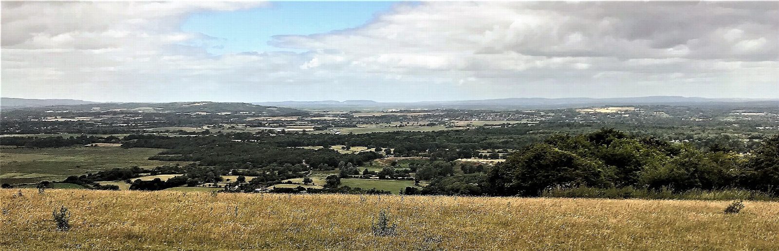
From Amberley station the walk goes under the railway and north along the bank of the tidal Arun. Opposite Bury it turns east across the low meadows, over the railway by a foot crossing, and under the castle walls into Amberley village. It leaves the village to the south by Mill Lane, crosses the B2139 and comes to the top of High Titten, the steep lane up from the river, where it joins the South Downs Way. The Way climbs over Amberley Mount to the trig point on Rackham Hill, at 193 m. The return is back along the ridge and down High Titten, then by the path beside the main road to the station.
It is 9.7 km with 184 m of ascent; allow about 3 hours. The grade is Easy: flat by the river, then one long climb.
The meadows between the river and the village are boggy and can flood in winter; the road is then the way round. More than a quarter of the walk is on lanes, and the B2139 at the station is busy, so use the path beside it. Part of the footpath under the castle wall is closed while the wall beside it is repaired, with a signed way round.
The station car park is free. Amberley station, on the Arun Valley line, is at the start.
Route drawn by Global Adventurer along OpenStreetMap paths (© OpenStreetMap contributors, ODbL), with figures worked out from it. Check the forecast and the ground on the day: paths change.
Good to know
- Along the bank of the tidal Arun, across the meadows and under the castle walls into Amberley village
- Then up High Titten and the South Downs Way over Amberley Mount to the trig point on Rackham Hill, and back the same way
- The meadows between the river and the village flood in winter
- Amberley station is on the Arun Valley line
Summits on the way
- Rackham Hill 193 m
Getting there
Start: Amberley station · Free parking. 50.89695, -0.54176
By train: Amberley station is 0.1 km from the start.
Places to stay nearby
Rooms in and around Amberley: Booking.com → Expedia →
Affiliate links: if you book, Global Adventurer earns a small commission at no cost to you.
Paths change, and the weather decides the day. The line and figures come from OpenStreetMap and our own checks; take a map, check the forecast, and turn back if it isn't right.


