Line © OpenStreetMap contributors (ODbL), checked by Global Adventurer.
The walk
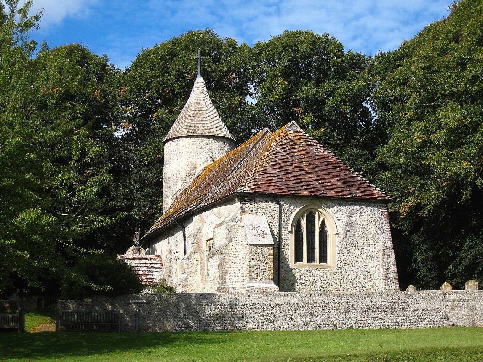
From Southease station the walk follows the lane west across the valley and over the old swing bridge, built in 1880, to Southease, with its green and its small round-towered church. A path beside the road leads north towards Rodmell, and a field path comes into the bottom of the village by Monk's House, the home of Virginia and Leonard Woolf from 1919. From the end of the village a gravel bridleway crosses the brooks, the ditched grazing marsh of the valley floor, to the river. The walk climbs onto the flood bank and turns right along it for about 1.5 km, back to Southease bridge and the station.
It is 5.7 km with 34 m of ascent; allow about 1½ hours. The grade is Easy: it is nearly flat, on lanes, a good track and the river bank.
There are gates and stiles. The river bank is open to the wind and the brooks are grazed, so keep dogs under close control. Take care on the road between Southease and Rodmell.
There is very little parking at Southease, and the National Trust car park at Monk's House is for visitors to the house, so come by train if you can. Southease station, on the line from Lewes to Seaford, is at the start; the South Downs youth hostel is beside it.
Route drawn by Global Adventurer along OpenStreetMap paths (© OpenStreetMap contributors, ODbL), with figures worked out from it. Check the forecast and the ground on the day: paths change.
Good to know
- Over the old swing bridge of 1880 to Southease and its small round-towered church
- On to Rodmell and Monk's House, where Virginia and Leonard Woolf lived from 1919
- Back across the brooks and along the bank of the tidal Ouse
- The South Downs Way crosses the river at Southease
Getting there
Start: Southease station. 50.83128, 0.03048
By train: Southease station is 0.0 km from the start.
Places to stay nearby
Rooms in and around Southease: Booking.com → Expedia →
Affiliate links: if you book, Global Adventurer earns a small commission at no cost to you.
Paths change, and the weather decides the day. The line and figures come from OpenStreetMap and our own checks; take a map, check the forecast, and turn back if it isn't right.
