Line © OpenStreetMap contributors (ODbL), checked by Global Adventurer.
The walk
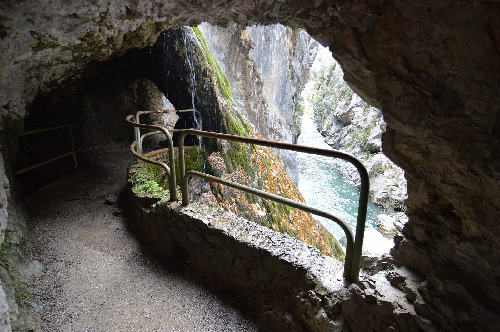
The walk starts at Poncebos, at the end of the road from Arenas de Cabrales, beside the lower station of the Bulnes funicular. The path climbs steadily for the first 2 km to Los Collaos, its high point, then runs almost level along the wall of the gorge, high above the Río Cares, past the Culiembro pastures and over the Bolín and Rebecos bridges. A run of short tunnels leads to the dam and the village of Caín. Return the same way.
It is 22.9 km there and back with 562 m of climbing; allow about 7 hours. The grade is Hard, for the length rather than the ground: the path is broad and stony, cut into the rock.
There are long unfenced drops beside the path, and stones fall from the cliffs, most of all in and after rain and wind: the national park says you walk it at your own risk. There is no drinking water and little shade, so in summer start early and carry plenty. A torch helps in the tunnels.
Parking at Poncebos is very limited. In summer and at holiday weekends a bus runs from Arenas de Cabrales, where there are car parks.
Route drawn by Global Adventurer along OpenStreetMap paths (© OpenStreetMap contributors, ODbL), with figures worked out from it. Check the forecast and the ground on the day: paths change.
Good to know
- A path cut into the limestone walls of the gorge between the western and central massifs of the Picos de Europa
- Made to maintain the canal that feeds the Camarmeña power station, and widened between 1945 and 1950
- Unfenced drops, short tunnels and rockfall after rain: the national park says you walk it at your own risk
- Parking at Poncebos is very limited: in summer a bus runs from Arenas de Cabrales
Getting there
Start: Poncebos. 43.25790, -4.83034
Places to stay nearby
Rooms in and around Picos de Europa: Booking.com → Expedia →
Affiliate links: if you book, Global Adventurer earns a small commission at no cost to you.
Paths change, and the weather decides the day. The line and figures come from OpenStreetMap and our own checks; take a map, check the forecast, and turn back if it isn't right.