Line © OpenStreetMap contributors (ODbL), checked by Global Adventurer.
The walk
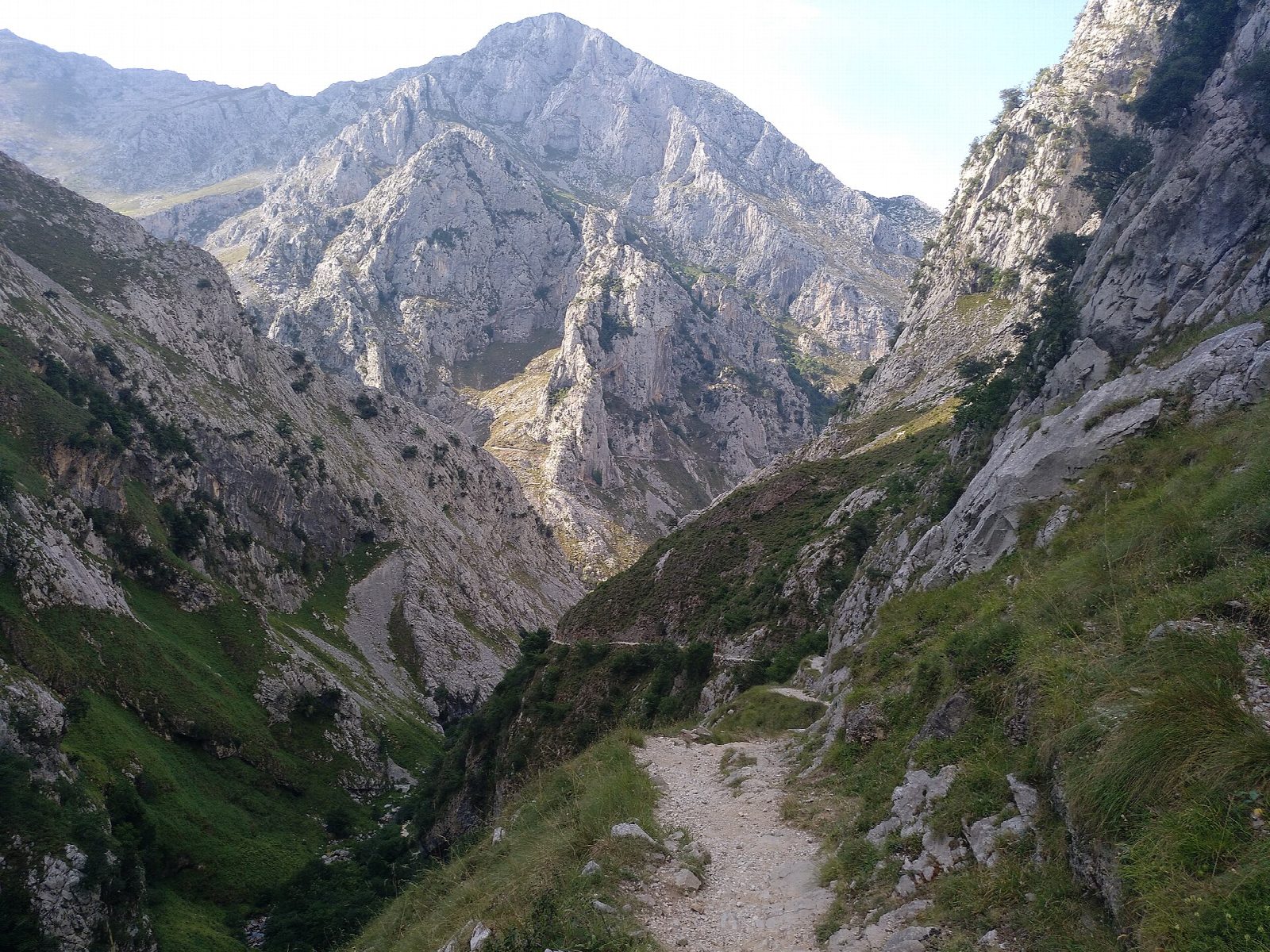
The walk starts at Poncebos, beside the lower station of the funicular. Cross the Río Cares by the old stone Puente de la Jaya and climb the Canal del Texu, a steep, narrow valley, on a stony mule path beside the Río Bulnes. Near the top the path crosses the stream at the Puente del Zardo and comes into Bulnes, a cluster of stone houses under limestone walls. A short climb further leads to the upper hamlet, El Castillo. Return the same way.
It is 8.4 km there and back with 421 m of climbing; allow about 3½ hours. The grade is Moderate: short, but steep and rough underfoot all the way.
Rockfall is a real risk in the Canal, above all near the Puente del Zardo and after heavy rain, and the path has been closed at short notice more than once: check the national park's alerts before you go. The rock is slippery when wet, there is no water on the way, and it is not a walk for snow.
The funicular from Poncebos, opened in 2001, runs to the village in a tunnel and is ticketed; some walkers take it one way. Parking at Poncebos is very limited: in summer a bus runs from Arenas de Cabrales.
Route drawn by Global Adventurer along OpenStreetMap paths (© OpenStreetMap contributors, ODbL), with figures worked out from it. Check the forecast and the ground on the day: paths change.
Good to know
- Bulnes has no road: until the funicular opened in 2001 this mule path was the only way in
- Over the Puente de la Jaya and up the Canal del Texu beside the Río Bulnes
- The path is closed at short notice after rockfall: check the national park's alerts
- The funicular from Poncebos runs through a tunnel to the village and is ticketed
Getting there
Start: Poncebos. 43.25790, -4.83034
Places to stay nearby
Rooms in and around Picos de Europa: Booking.com → Expedia →
Affiliate links: if you book, Global Adventurer earns a small commission at no cost to you.
Paths change, and the weather decides the day. The line and figures come from OpenStreetMap and our own checks; take a map, check the forecast, and turn back if it isn't right.
