Line © OpenStreetMap contributors (ODbL), checked by Global Adventurer.
The walk
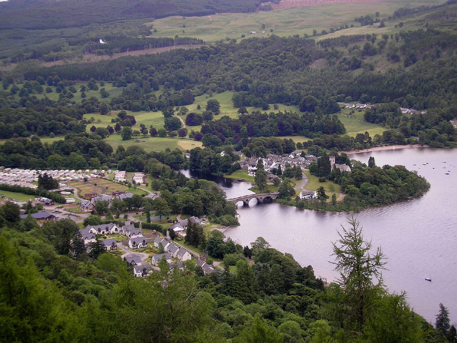
From the forest car park at Drummond Hill, just up from the road at the Mains of Taymouth, walk up the broad track into the forest on the blue and red waymarked route and turn sharp right where the main track curves. At a crossroads of tracks turn left for the viewpoint and follow the track for about 800 m to the signed path to Black Rock, where a bench looks down Loch Tay to Kenmore. Return to the crossroads and continue ahead on the red route, down the track for about 1.5 km, then follow the red-waymarked path that doubles back below it through native trees to the car park.
It is 7.1 km with 274 m of ascent; allow about 2½ hours. The grade is Easy: waymarked forest tracks at an easy gradient.
Capercaillie were brought back to Scotland in these woods in 1837, after being hunted to extinction, and are endangered again today. Much of the forest is larch, spruce and Douglas fir, replanted after felling in the First World War. The Black Rock viewpoint has a memorial bench. The separate Caisteal MacTuathal trail is closed by windblown trees; this walk does not use it.
Park in the forest car park signed for Drummond Hill; Forestry and Land Scotland says parking there is free during the day. Buses run to Kenmore.
Route drawn by Global Adventurer along OpenStreetMap paths (© OpenStreetMap contributors, ODbL), with figures worked out from it. Check the forecast and the ground on the day: paths change.
Good to know
- Capercaillie were brought back to Scotland in these woods in 1837
- The Black Rock viewpoint looks down the length of Loch Tay to Kenmore
- Forest tracks and paths waymarked by Forestry and Land Scotland
Getting there
Start: Drummond Hill forest car park, Mains of Taymouth · Free parking. 56.59006, -4.00142
Places to stay nearby
Rooms in and around Drummond Hill forest car park: Booking.com → Expedia →
Affiliate links: if you book, Global Adventurer earns a small commission at no cost to you.
Paths change, and the weather decides the day. The line and figures come from OpenStreetMap and our own checks; take a map, check the forecast, and turn back if it isn't right.