Line © OpenStreetMap contributors (ODbL), checked by Global Adventurer.
The walk
The walk starts from lay-by 87 on the west side of the A9, about 750 m south of the Dalwhinnie turning; cross the road with great care. A vehicle track climbs the moor to the plateau and follows the broad ridge north-east, beside fence posts, to a boggy dip and the small cairn on Càrn na Caim. The route comes back to the top of the track and continues south across the plateau, round the lump of A' Bhuidheanach, over another soggy bealach and up to the trig point on A' Bhuidheanach Bheag. Return to the top of the track and down to the lay-by.
It is 19.0 km (11.8 miles) with 802 m (2,630 ft) of ascent; allow about 7 hours. The grade is Hard.
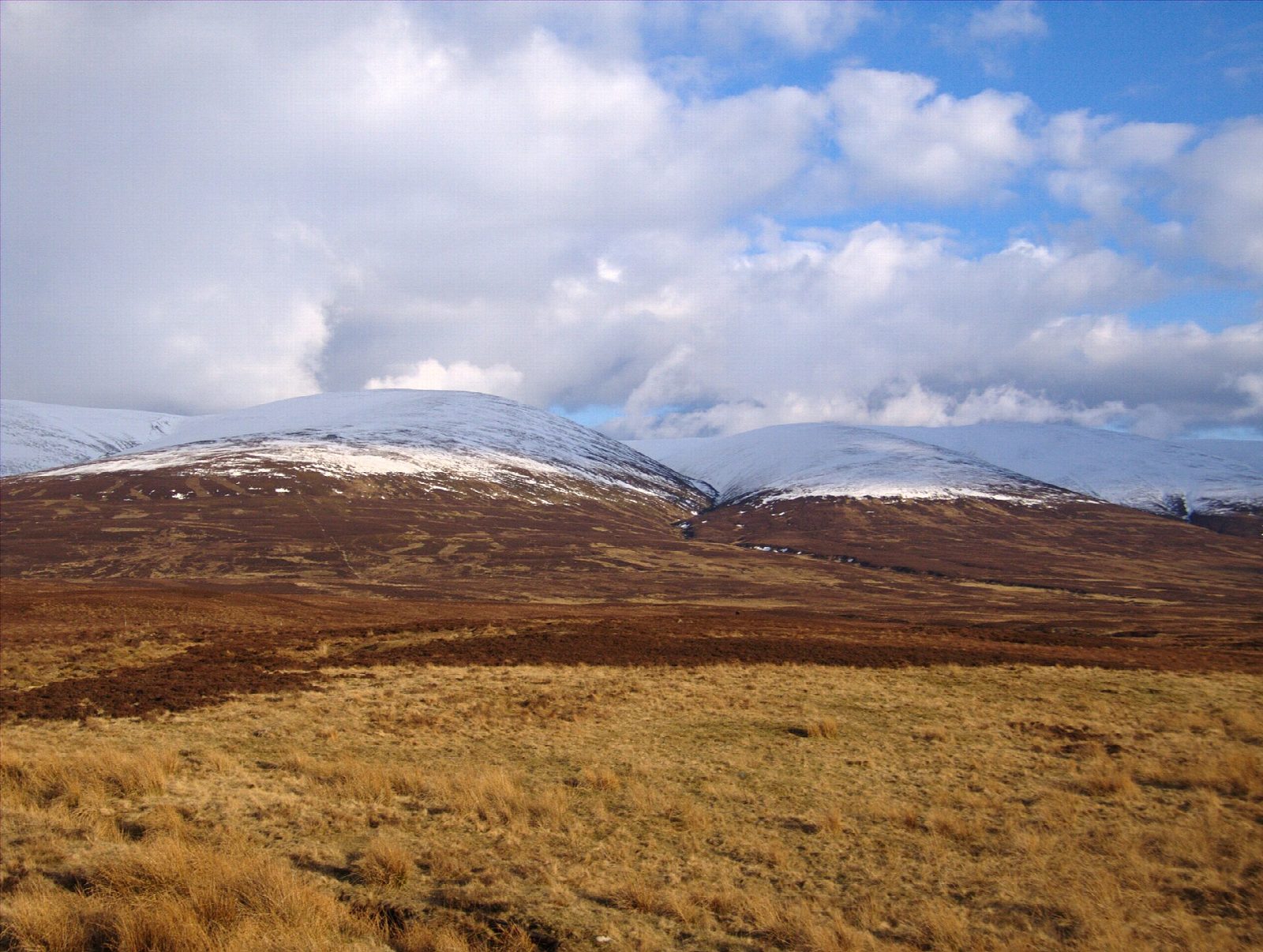
Càrn na Caim sits on the edge of the plateau and looks over Badenoch to the Monadhliath, with the dome of Meall Chuaich close by and the Cairngorms to the east. Across the pass rise A' Mharconaich and Geal Chàrn.
The plateau is broad and featureless, and navigation in cloud is tricky; the fence posts help on the ridge to Càrn na Caim. The paths are boggy unless frozen.
Route drawn by Global Adventurer along OpenStreetMap paths (© OpenStreetMap contributors, ODbL), with figures worked out from it. Check the forecast and the ground on the day: paths change.
Good to know
- Two Munros on the broad plateau east of the Drumochter Pass
- A vehicle track to the plateau, then boggy paths
- Fence posts along the ridge can help in mist
- Cross the A9 from the lay-by with great care
Summits on the way
- Carn na Caim South Top [Mullach Coire nan Cisteachan] 915 m · passed close by
- Carn na Caim 941 m
- A' Bhuidheanach Bheag 936 m
Getting there
Start: Lay-by 87 on the A9 south of Dalwhinnie · Free parking. 56.90896, -4.23654
By train: Dalwhinnie station is 3.0 km from the start.
Places to stay nearby
Rooms in and around Dalwhinnie: Booking.com → Expedia →
Affiliate links: if you book, Global Adventurer earns a small commission at no cost to you.
Paths change, and the weather decides the day. The line and figures come from OpenStreetMap and our own checks; take a map, check the forecast, and turn back if it isn't right.

