Line © OpenStreetMap contributors (ODbL), checked by Global Adventurer.
The walk
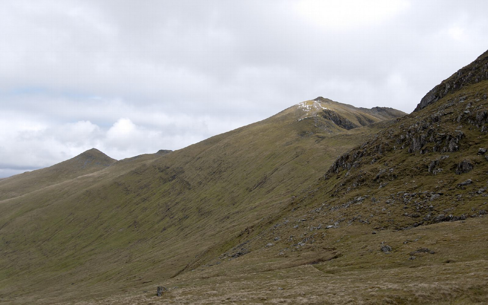
The walk starts from the Ben Lawers nature reserve car park and goes out and back. A path climbs steadily through the National Nature Reserve onto the ridge and over Beinn Ghlas (1,103 m), then continues along the ridge to Ben Lawers (1,214 m), the highest mountain in the southern Highlands. It is on path all the way, rough mountain path on the upper ridge.
It is 12.2 km with 971 m of ascent; allow about 6½ hours. The grade is Hard. On the way back you climb over Beinn Ghlas again before the long descent to the car park.
The reserve is known for its arctic-alpine plants; keep to the path to protect them. The ridge is exposed to the wind, and in mist you need a map and compass to stay on line between the summits; check the forecast and use your judgement. In winter the hill needs ice axe, crampons and experience. There are no mapped water sources on the route.
The car park is on the minor road that leaves the A827 beside Loch Tay and climbs north towards Glen Lyon.
Route drawn by Global Adventurer along OpenStreetMap paths (© OpenStreetMap contributors, ODbL), with figures worked out from it. Check the forecast and the ground on the day: paths change.
Good to know
- Ben Lawers is the highest mountain in the southern Highlands
- National Nature Reserve known for its arctic-alpine plants
- Two Munros in one walk
Summits on the way
- Beinn Ghlas 1,103 m
- Ben Lawers 1,214 m
Getting there
Start: Ben Lawers car park. 56.51086, -4.26273
Places to stay nearby
Rooms in and around Crianlarich: Booking.com → Expedia →
Affiliate links: if you book, Global Adventurer earns a small commission at no cost to you.
Paths change, and the weather decides the day. The line and figures come from OpenStreetMap and our own checks; take a map, check the forecast, and turn back if it isn't right.


