Line © OpenStreetMap contributors (ODbL), checked by Global Adventurer.
The walk
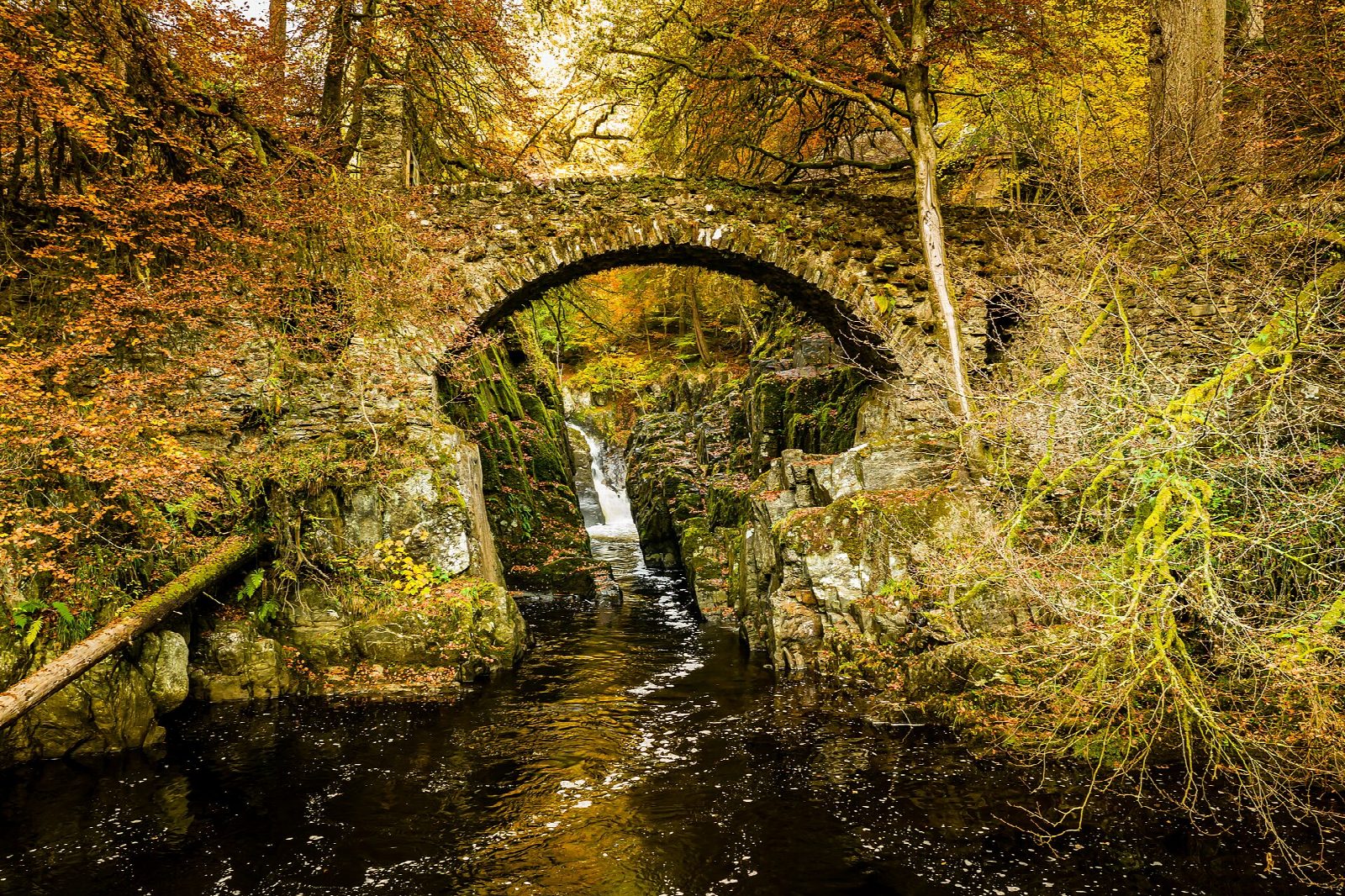
From the lower end of the Hermitage car park, follow the path beside the River Braan under the railway. Keep left by the river to the bridge below Ossian's Hall, a folly built to reveal the falls at the last moment. Beyond the hall the path continues upstream past Ossian's Cave, a stone grotto, then through the woods and across open grazing to a minor road. Turn left down to Rumbling Bridge, high over a narrow gorge. Across it, paths and tracks lead back east past Tomgarrow and through the Ladywell plantation, down to the road and over the Inver bridge, through the hamlet of Inver and back to the car park.
It is 7.0 km with 162 m of ascent; allow about 2¼ hours. The grade is Easy: clear paths, tracks and minor roads, with one steady climb.
The Hermitage began as a wild garden laid out by the second Duke of Atholl's son-in-law; the National Trust for Scotland looks after it now. The last stretch runs beside the busy A9. Perth & Kinross Council notes that the footbridge over the Braan at Inver was washed away in 2023; this route crosses at the Inver road bridge.
The car park charges. Buses and trains serve Dunkeld. The nearest station is Dunkeld and Birnam, about 1.9 km away.
Route drawn by Global Adventurer along OpenStreetMap paths (© OpenStreetMap contributors, ODbL), with figures worked out from it. Check the forecast and the ground on the day: paths change.
Good to know
- Ossian's Hall, a folly at the heart of a wild garden made for the Dukes of Atholl, looks straight onto the falls of the River Braan
- Ossian's Cave is a stone grotto built as part of the same garden
- Rumbling Bridge crosses the Braan high above a narrow gorge
Getting there
Start: The Hermitage car park, off the A9 near Dunkeld · Pay and display. 56.56178, -3.60717
By train: Dunkeld and Birnam station is 1.9 km from the start.
Places to stay nearby
Rooms in and around The Hermitage car park: Booking.com → Expedia →
Affiliate links: if you book, Global Adventurer earns a small commission at no cost to you.
Paths change, and the weather decides the day. The line and figures come from OpenStreetMap and our own checks; take a map, check the forecast, and turn back if it isn't right.